Avandra Field Guide · Provence-Alpes-Côte d'Azur, France
The Route des Grandes Alpes: Lake Geneva to the Riviera
15
nights
688
km driving
19
challenges
5,775
XP to earn
15
nights
688
km driving
19
challenges
5,775
XP to earn
Fifteen nights on the Route des Grandes Alpes, from the shore of Lake Geneva to Menton on the Mediterranean. It starts with medieval Yvoire and the Cachat spring at Évian, then climbs through the Aravis for reblochon and over the Cormet de Roselend in the Beaufortain. Val-d'Isère sits below the Col de l'Iseran, at 2,764m the highest road pass in the Alps, and Valloire between the Télégraphe and the Galibier. Briançon, the highest city in France, has Vauban's walls and the Col d'Izoard close by. The Ubaye leads to the Bonette and the Cayolle, and the Mercantour to the wolves of Saint-Martin-Vésubie and the Col de Turini, before the Grande Corniche runs down to Nice. These are summer roads: the Galibier is open only in summer, and the Colombière, the Iseran and the Bonette close in winter.
Best from June to August
688 km of driving in total, about 14 hours over 15 days
Évian: The Cachat Spring, the Belle Époque Baths and Ripaille
Edited by Kenneth Killeen
Day 1 · 1 night
Lake Geneva
5 km · 9 min from Thonon-les-Bains
Base camp · 1 night
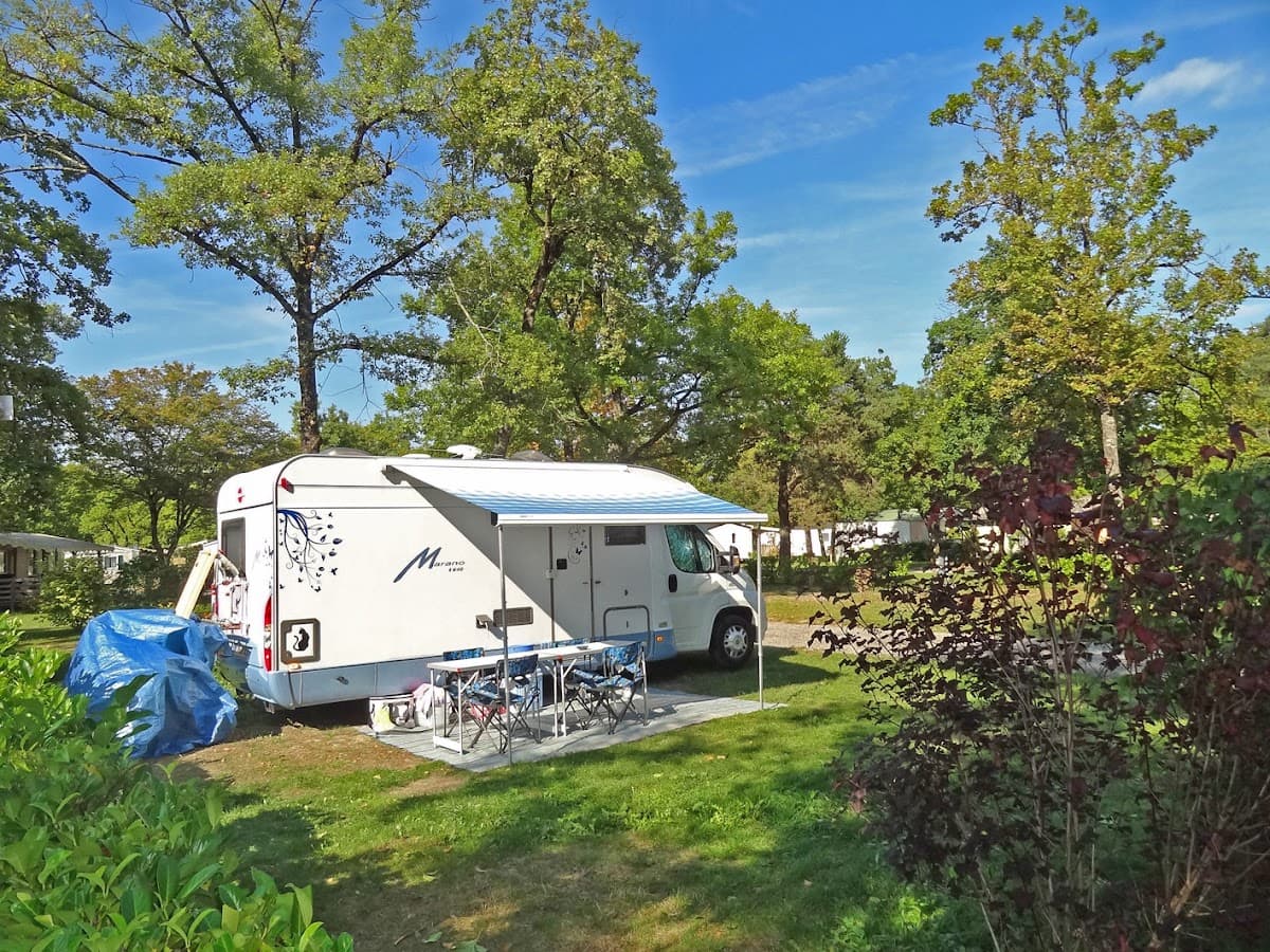
Camping Saint Disdille
4.3
2,266 Google reviews
Editor's note
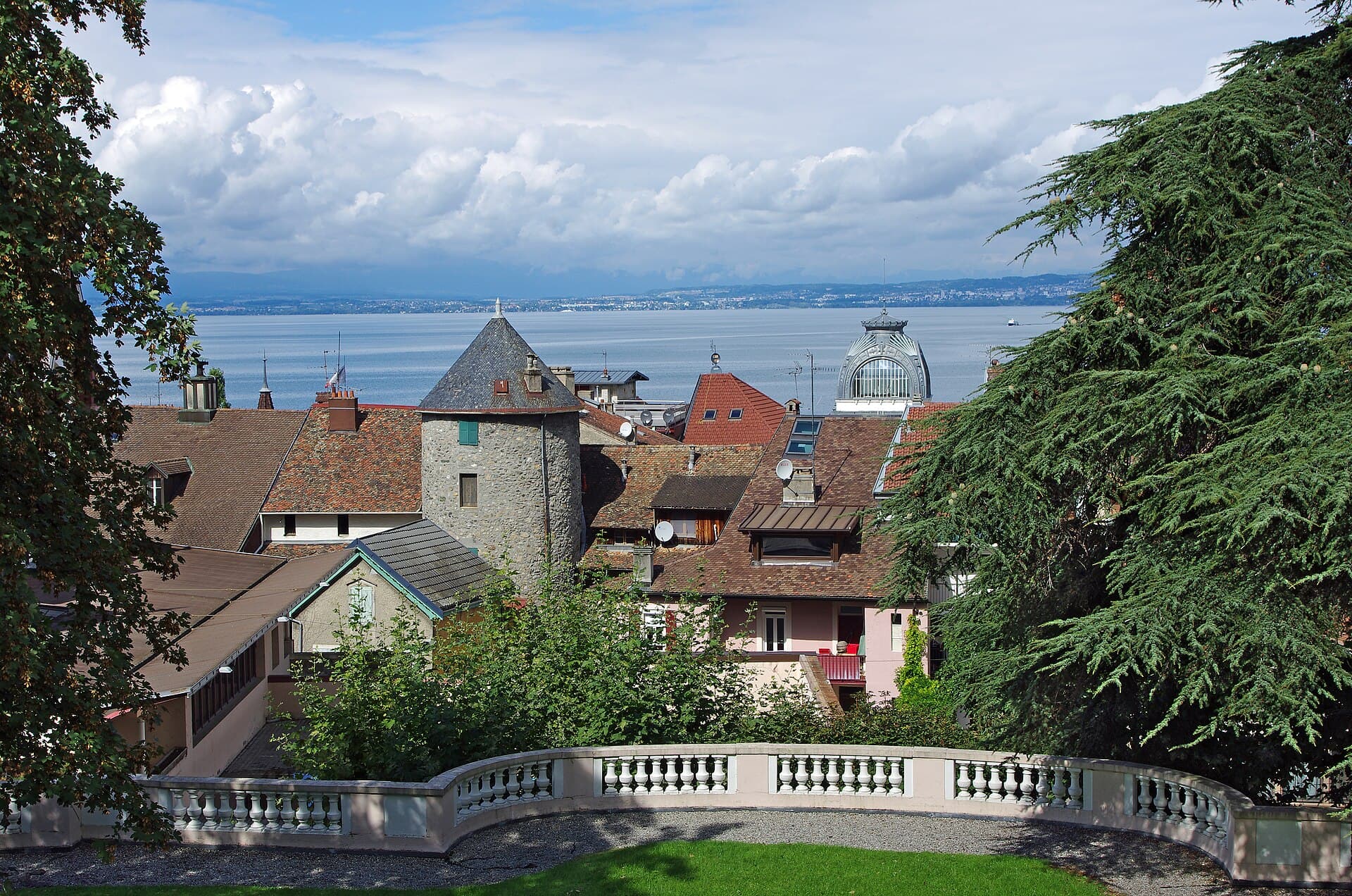
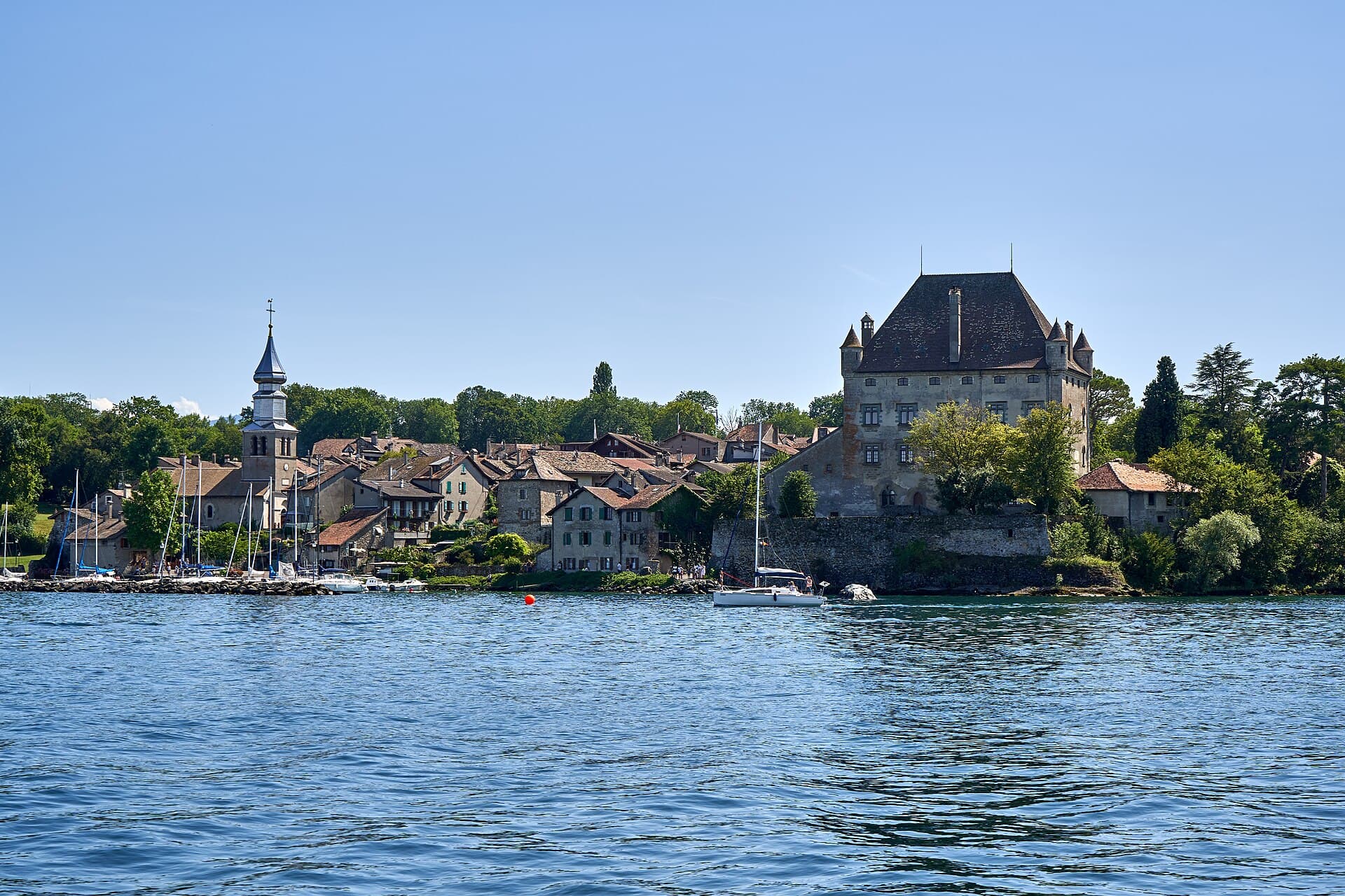
One night on Lake Geneva. Yvoire keeps the 14th-century walls of Amadeus V of Savoy, and at its heart the Jardin des Cinq Sens is a labyrinth of hedges and espaliered apple trees. Round the bay, Excenevex has the only natural sandy beach on the French shore of the lake, with swimming in summer. In Évian, fill a bottle at the Source Cachat, which runs all year at 11.6°C, opposite the Art Nouveau Buvette Cachat, and see an exhibition in the Palais Lumière, the baths of 1902. The Château de Ripaille at Thonon, a home of the Dukes of Savoy, is open from April to October.
Yvoire and Excenevex: The Medieval Port, the Five Senses Garden and the Only Sand Beach in Haute-Savoie
200 XPWalk Yvoire end to end through both of its gates — the tour de Nernier facing west and the tour de Rovorée facing east, square towers of 5 m by 6 m built in 1318 — and stop below the castle Amadeus V of Savoy bought and refortified in 1306, burned after the Bernese takeover and in the same family's hands since 1615
14.1 km from camp
About 3 h
Spring to autumn only
Évian: The Cachat Spring, the Belle Époque Baths and Ripaille
250 XPFill a bottle at the Source Cachat on the Avenue des Sources, the fountain built in 1903 that runs every day of the year at 11.6°C, then look across at the Buvette Cachat, the Art Nouveau drinking pavilion listed since 1986 and restored over seven years, which now holds the architecture and heritage centre for the Pays d'Évian and the Abondance valley
6.3 km from camp
About 4 h
Walks from camp
Day 2 · 1 night
The Aravis
94 km · 1 h 55 min from Lake Geneva
Base camp · 1 night
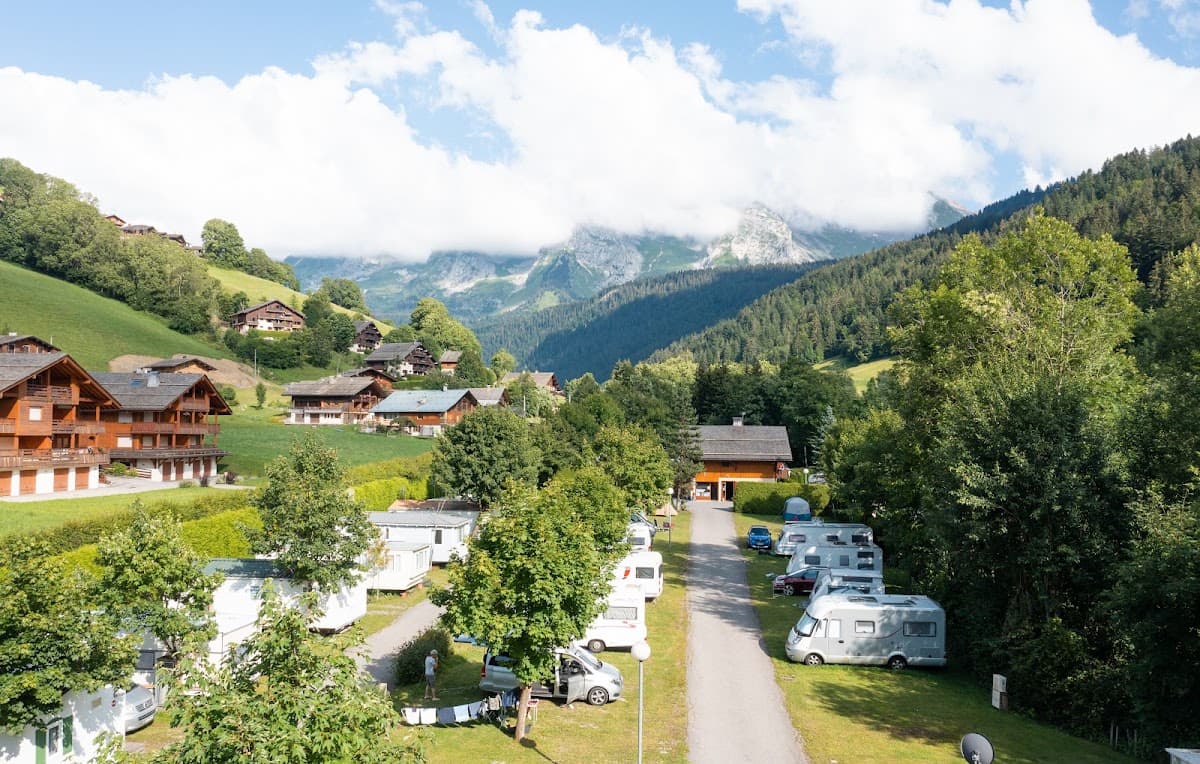
Summer camping Le Clos du Pin - CAMPASUN
4.5
351 Google reviews
Editor's note
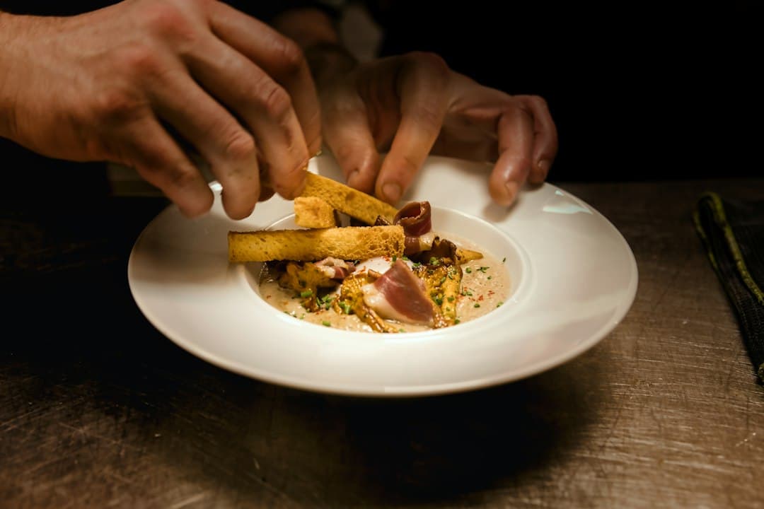
One night in the Aravis, reblochon country. The cheese takes its name from re-blocher, to pinch the udder again: tenant farmers paid their landlords by the day's milking, so they milked incompletely while the inspector watched and again once he had gone. Buy one from a farm producer. Le Grand-Bornand, with its covered market hall, the grenette, is in the heart of it. Above the village the road climbs past the 17th-century Vieux Village at Le Chinaillon to the Col de la Colombière, about 1,613 metres and closed in winter. Past La Clusaz, the Col des Aravis, 1,486 metres, has been crossed by the Tour de France 42 times.
Walks from camp
Day 3 · 1 night
The Beaufortain
58 km · 1 h 9 min from The Aravis
Base camp · 1 night
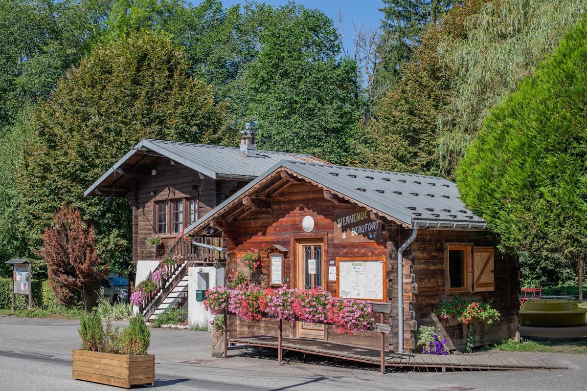
Camping Domelin - Onlycamp
4.5
510 Google reviews
Editor's note
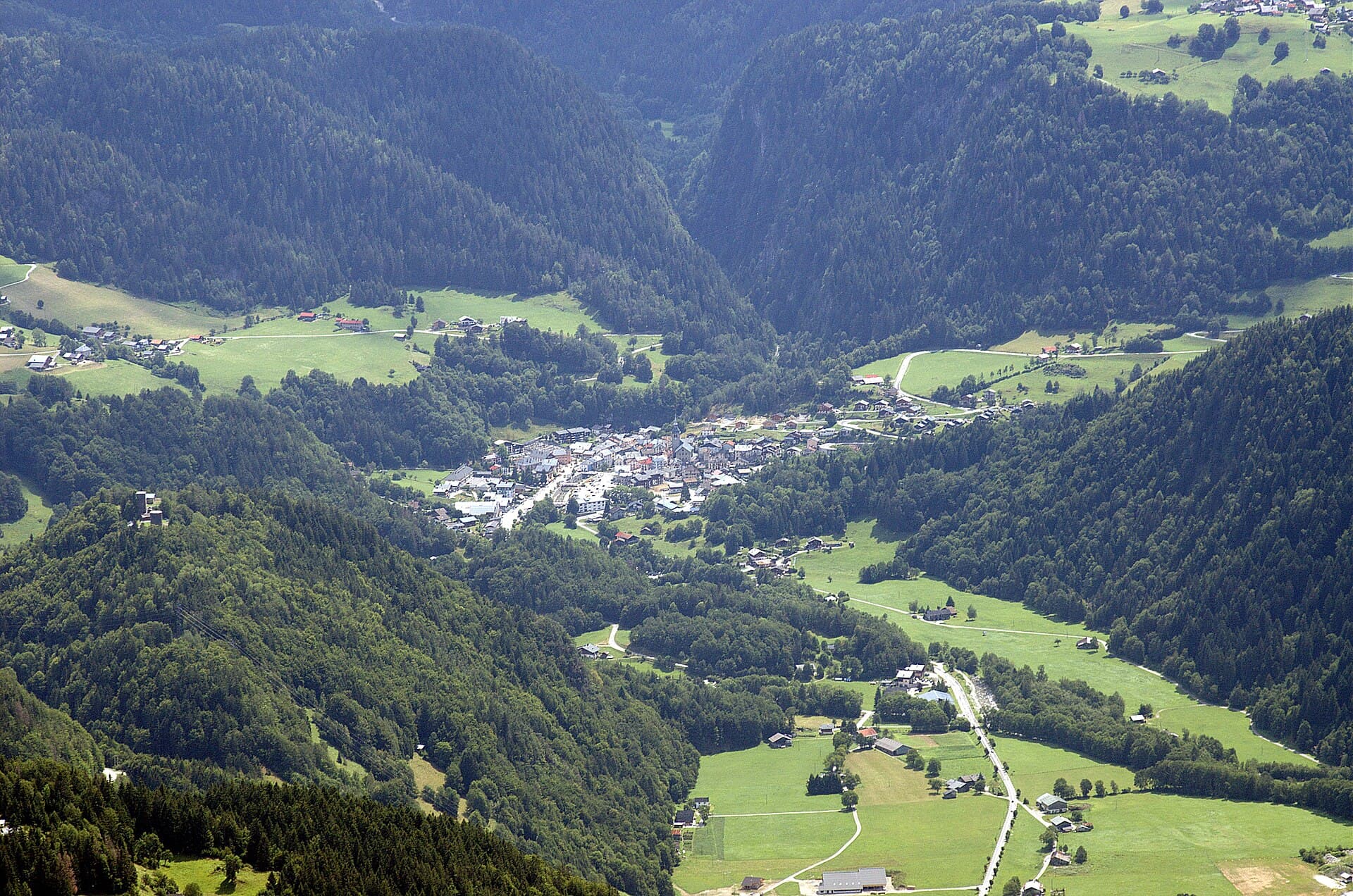
One night in the Beaufortain. Beaufort has been an AOP cheese since 1968, and the cooperative in Beaufort, with about 180 farmers, ripens some 300,000 wheels a year. Visit its cellars and taste it, then eat it in a fondue or tartiflette. Up the valley, the Roselend dam holds an emerald lake at 1,553m, and the road carries on over the Cormet de Roselend at 1,968m, by van or by bike. Above Arêches, walk up through the hamlet of Boudin, a protected site since 1943, where some chalets are more than 300 years old, to its baroque chapel with a starry vault.
Walks from camp
Days 4–5 · 2 nights
Val-d'Isère and the Iseran
73 km · 1 h 32 min from The Beaufortain
Base camp · 2 nights
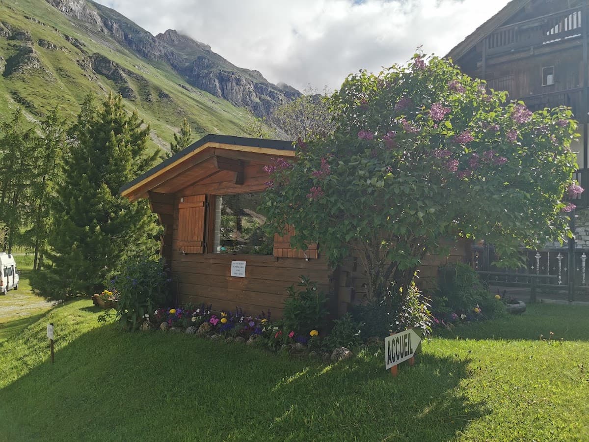
Camping les Richardes
4.4
233 Google reviews
Editor's note
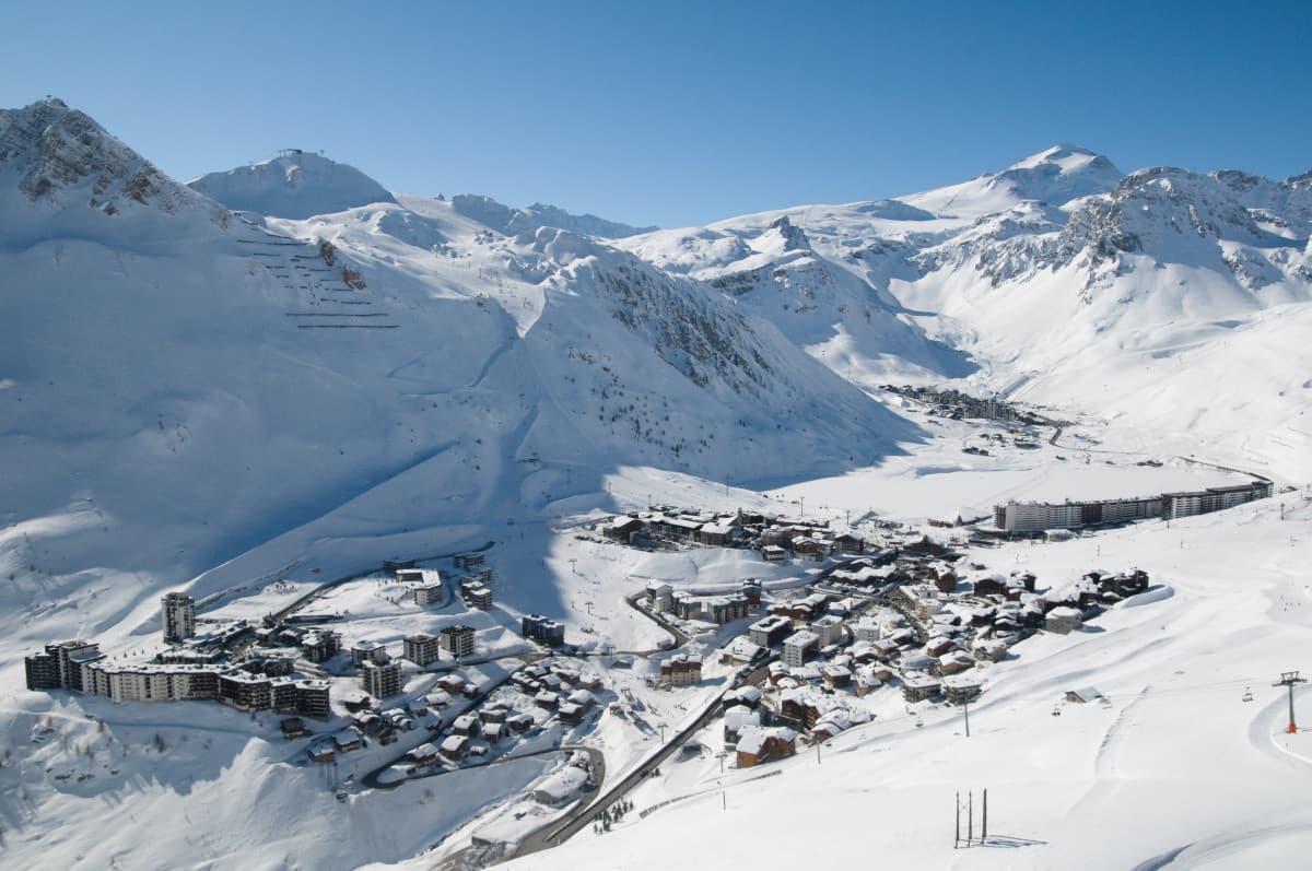
Two nights at Val-d'Isère, which hosted the men's alpine events of the 1992 Albertville Olympics. Above it, the Col de l'Iseran, at 2,764m, is the highest road pass in the Alps; ride, walk or drive up for the view over the Tarentaise and the Maurienne. The road is closed in winter. Down the valley, stand on the Tignes dam. Old Tignes lies under the lake: its 400 villagers fought the dam with lawsuits and sabotage until 1952, when the church and houses were dynamited and the village flooded. Look for what is left of Jean-Marie Pierret's Hercules fresco on the 180-metre wall, now almost faded away.
Tignes: The Village Under the Lake
250 XPPull in at the dam and take the measure of the highest dam in France: a concrete arch about 180 m high and close to 300 m across, up to 50 m thick, sitting on foundations 20 m deep and holding back 235 million cubic metres of the Isère — the highest arch dam in Europe when it was finished
7.2 km from camp
About 2 h
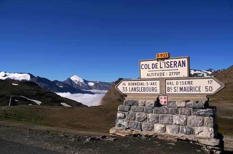
Val-d'Isère and the Col de l'Iseran: The Highest Road Pass in the Alps
400 XPGet to the top of the Col de l'Iseran by bike, on foot or by road, and settle the altitude for yourself: the sign at the summit says 2,770 m while the maps give 2,764 m. Then find the chapel of Notre-Dame-de-Toute-Prudence, built in 1939 to the plans of the Savoyard architect Maurice Novarina and listed as 20th-century heritage
1.2 km from camp
About 4.5 h
Summer and autumn only
Walks from camp
Days 6–7 · 2 nights
Valloire and the Galibier
104 km · 1 h 50 min from Val-d'Isère and the Iseran
Base camp · 2 nights
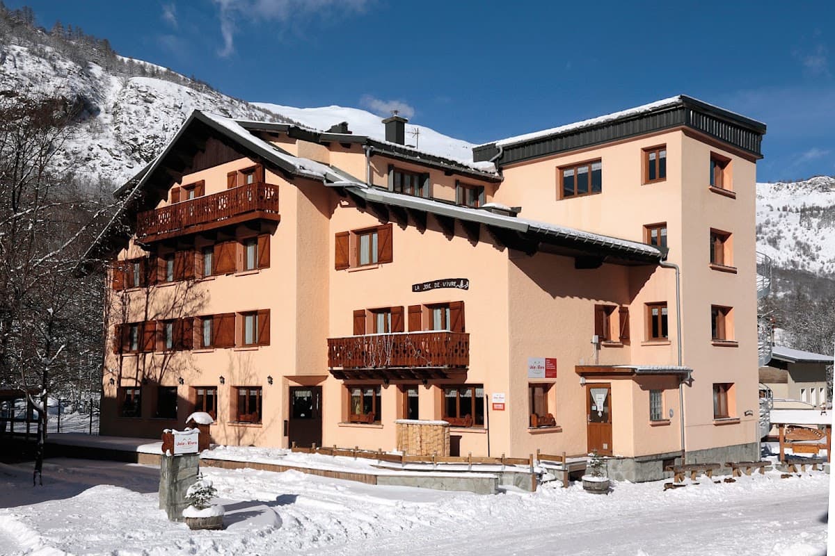
La Joie de Vivre
4.5
123 Google reviews
Editor's note
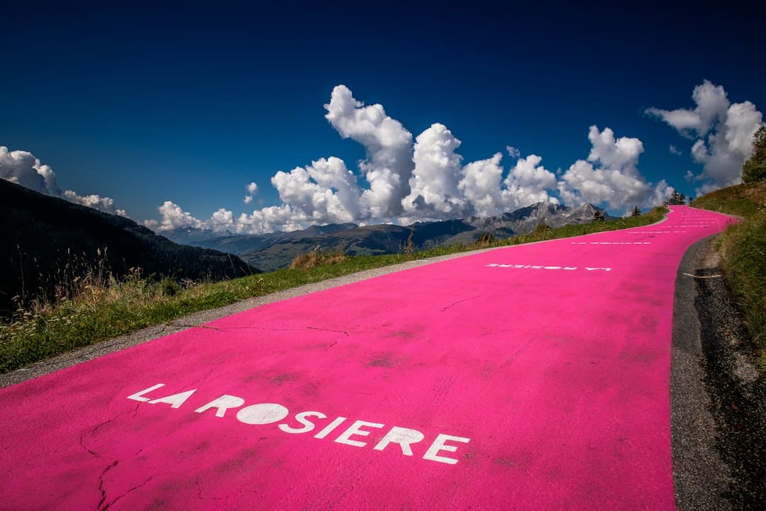
Two nights at Valloire, at 1,405 metres the most southerly commune in Savoie. From Saint-Michel-de-Maurienne the road climbs to the Col du Télégraphe, 1,566 metres, named after a Chappe arm-signalling telegraph tower built on the cliff edge in 1807, with the Fort du Télégraphe above. From Valloire it climbs again to the Col du Galibier at 2,642m, open only in summer, where a monument to Henri Desgrange stands by the summit tunnel. Beyond it, the Col du Lautaret has an alpine garden founded in 1899 with about 2,000 species, and at La Grave a cable car rises to 3,200m on the Meije glaciers.
Valloire and the Télégraphe: The Galibier's North Side
300 XPClimb the Télégraphe from Saint-Michel-de-Maurienne at 715 m — 12.1 km at a steady 7 per cent, with the fort visible above you from the first bend to show where the road is going — mark the halfway point at the Valmeinier turn-off at 1,358 m, and stop at the viewpoint 100 m below the col for the drop onto Saint-Michel, the A43 and the hamlets on the opposite slope
0.5 km from camp
About 5 h
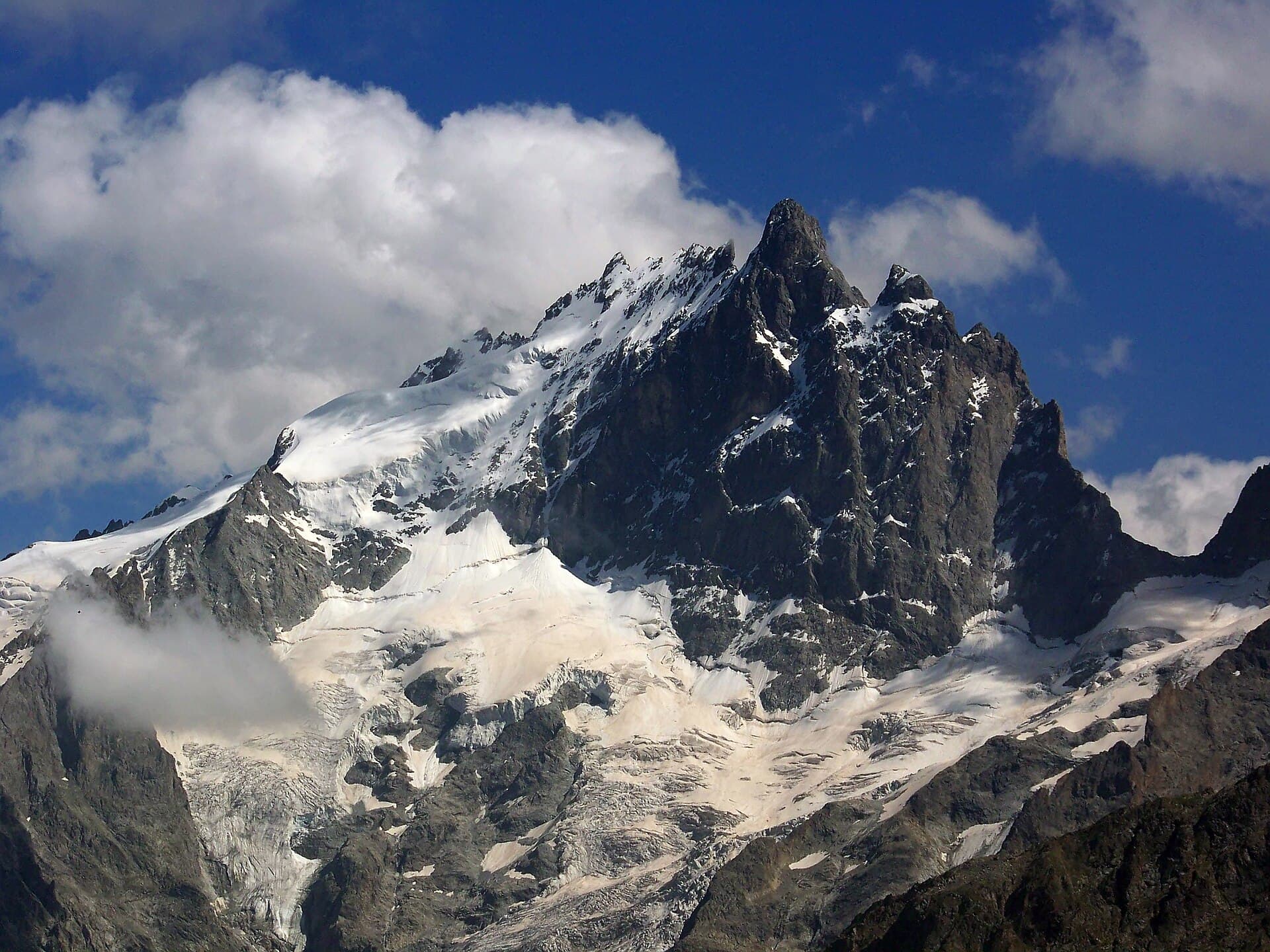
La Grave and the Galibier: The Meije Glaciers, the Alpine Garden and the Col du Galibier
400 XPRide both stages of the Meije glacier cable car from La Grave at 1,470 m up to the Girose glacier at 3,173 m, and from the top station pick out the line of the proposed third stage, which would carry on to below the Dôme de la Lauze at 3,559 m and which the valley has been arguing about for years
16.9 km from camp
About 6 h
Summer only
Walks from camp
Days 8–10 · 3 nights
Briançon
59 km · 1 h 8 min from Valloire and the Galibier
Base camp · 3 nights
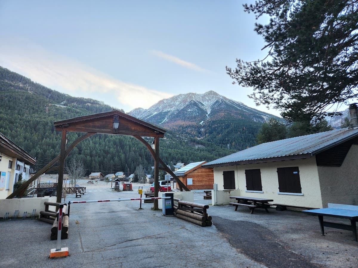
Camping du Bois des Alberts
4.5
593 Google reviews
Editor's note
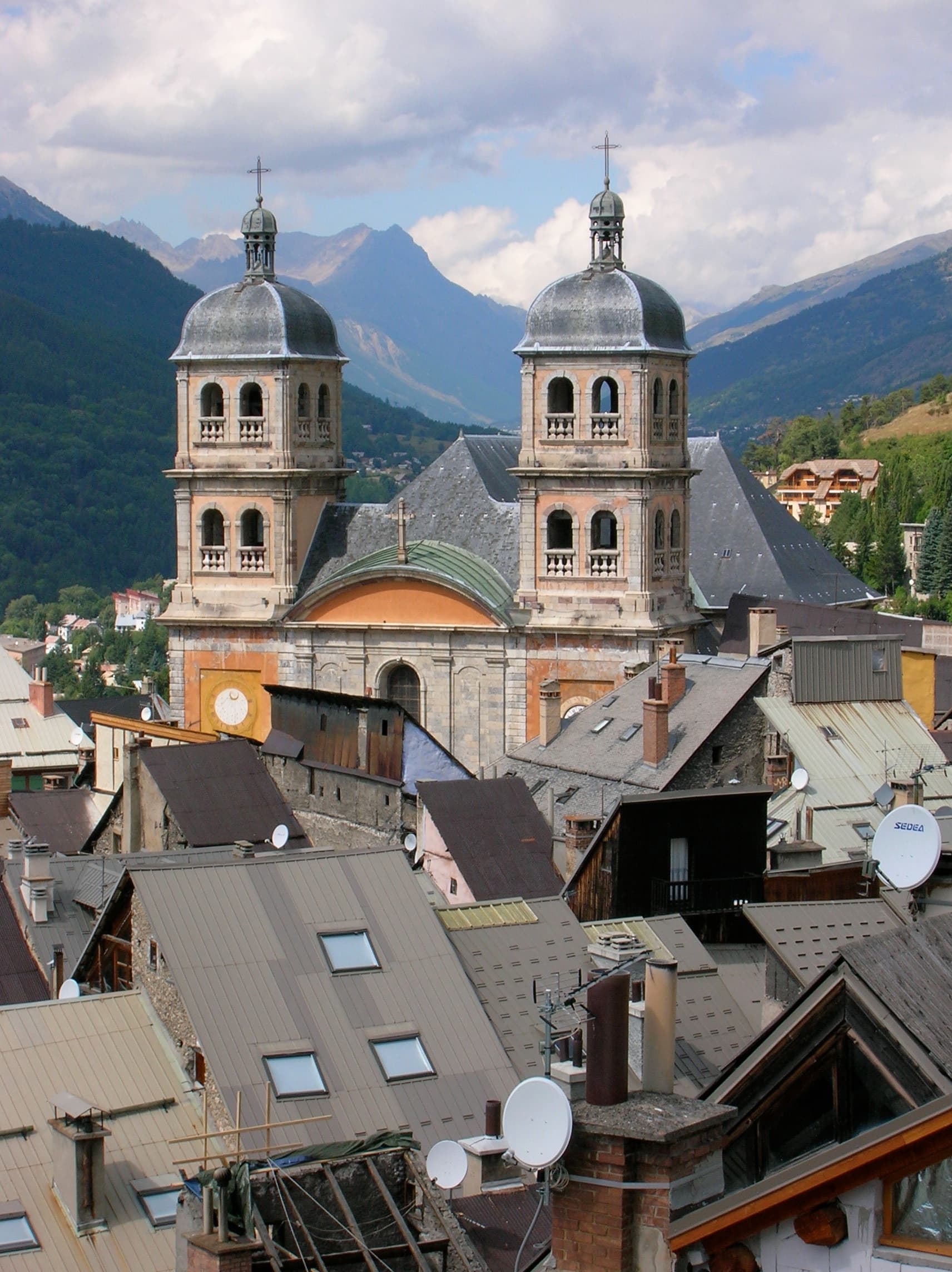
Three nights at Briançon, at 1,326m the highest city in France. Walk down the Grande Gargouille, the steep main street with an open water channel down its middle, from the Porte de Pignerol. Cross the Pont d'Asfeld, a single 40m arch over the Durance gorge, and climb for 25 minutes to the Fort des Salettes. In the Clarée valley, find the 15th-century frescoes of the vices and virtues at Plampinet, and in summer hike 8.5km there and back from the Fontcouverte chalets to Lac Laramon and Lac du Serpent. The Col d'Izoard, 2,362m, has the dolomite pinnacles of the Casse Déserte on its southern side.
Briançon: France's Highest City, Vauban's Walls and the Asfeld Bridge
300 XPWalk down the Grande Gargouille, the steep main street of the walled city with its open water channel, from the Porte de Pignerol
5.3 km from camp
About 5 h
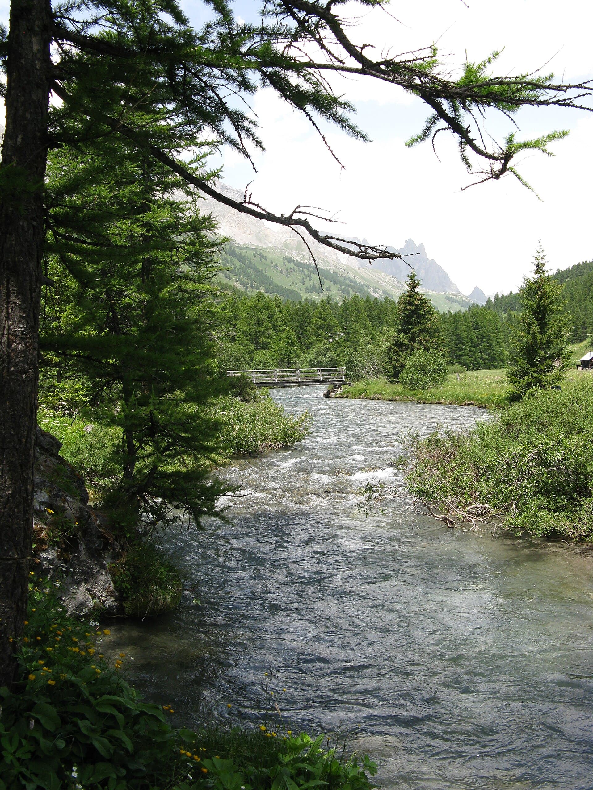
Névache and the Clarée Valley: Painted Chapels and the Lakes under the Frontier
300 XPWalk from the Fontcouverte car park, over the footbridge opposite the Auberge de la Fruitière, up through the larches to Lac Laramon at 2,359 m and on to Lac du Serpent at about 2,450 m — 8.7 km and 600 m of climbing, about four and a half hours there and back
11.6 km from camp
About 7 h
Summer and autumn only
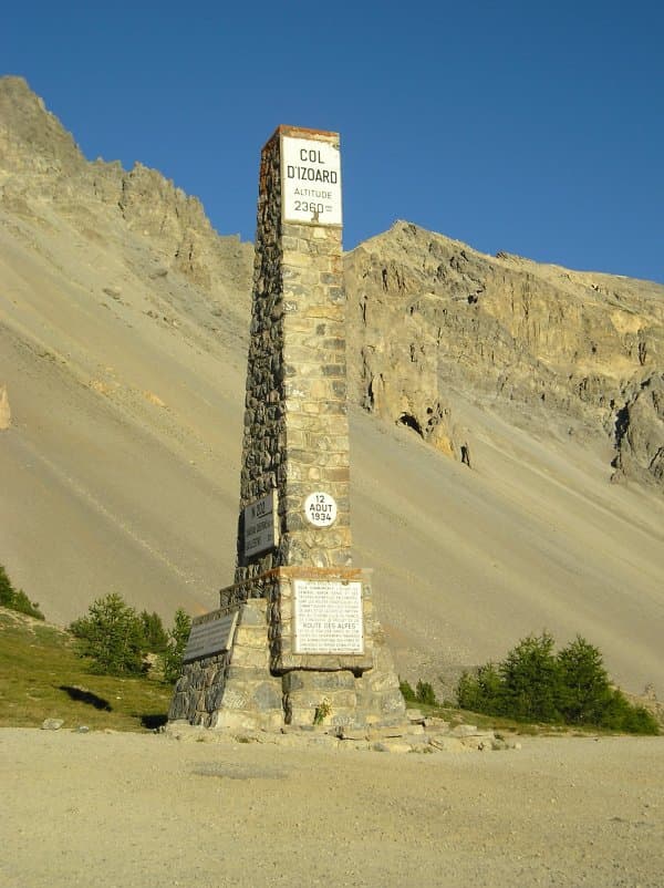
The Col d'Izoard and the Casse Déserte
400 XPTake one of the two named ascents to the col at 2,362m — 19.1 km at 6 per cent from the Queyras roundabout on the north side, or the 31.6 km at 4.4 per cent from Guillestre on the south — and mark the point a kilometre below the summit, at the refuge Napoléon at 2,282m, where the larch forest stops and the bare rock begins
13 km from camp
About 4.5 h
Summer and autumn only
Walks from camp
Days 11–12 · 2 nights
The Ubaye
90 km · 1 h 42 min from Briançon
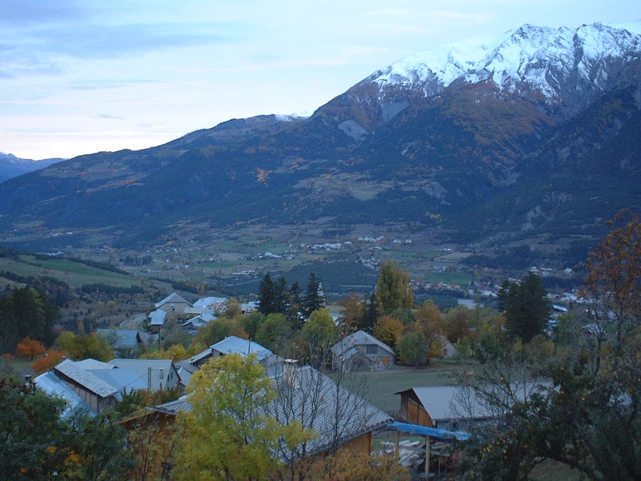
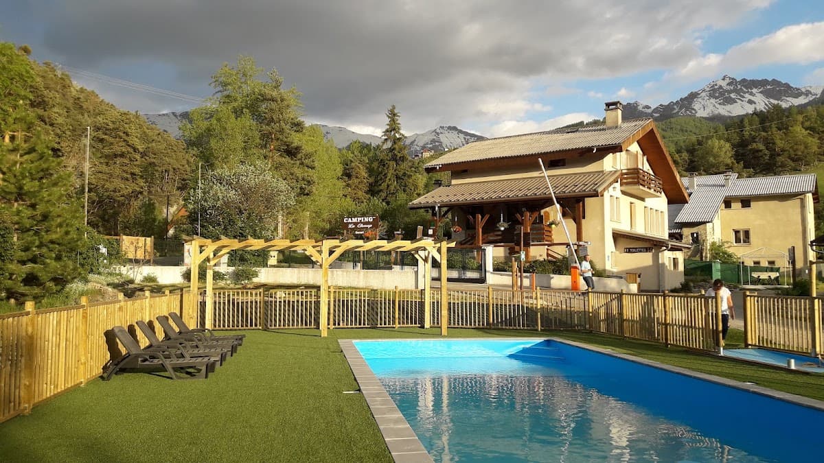
Base camp · 2 nights
Camping La Chaup
4.7
521 Google reviews
Editor's note
Two nights in the Ubaye, a white-water valley: raft from Méolans-Revel with a local outfitter. In the 19th century nearly 3,000 people left for America, most for Mexico, and those who came home rich built some fifty villas round Barcelonnette. The Villa La Sapinière, the only one open to visitors, holds the Musée de la Vallée. Up the valley, the Fort de Tournoux climbs almost 700m of mountainside. The Col de la Bonette, 2,712m, is closed in winter; a loop road round the Cime reaches 2,802m, and a path climbs to the summit at 2,860m. The Col de la Cayolle is open six or seven months of the year.
Ubaye: White Water, the Mexican Villas of Barcelonnette and the Fort de Tournoux
300 XPRaft the Ubaye from a base at Méolans-Revel, on the torrent that carried the French kayak championships in 2016 and that starts as a trickle at 3,076 m on the Italian frontier, and get out downstream to look back up at the gradient you have just come down
1.9 km from camp
About 5 h
Spring and summer only
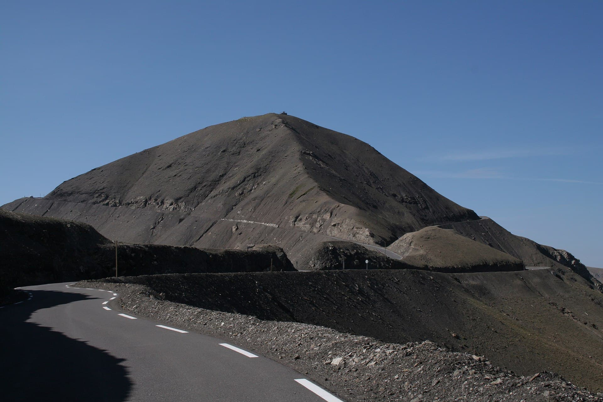
The Bonette: The Col and the Cime Above the Ubaye and the Tinée
400 XPRide or drive over the col at about 2,712 m, then take the loop road round the Cime de la Bonette to its high point at 2,802 m — the last eight hundred metres touch 15 per cent, which is why almost every cyclist who reaches the col carries on up
12.1 km from camp
About 6 h
Spring to autumn only
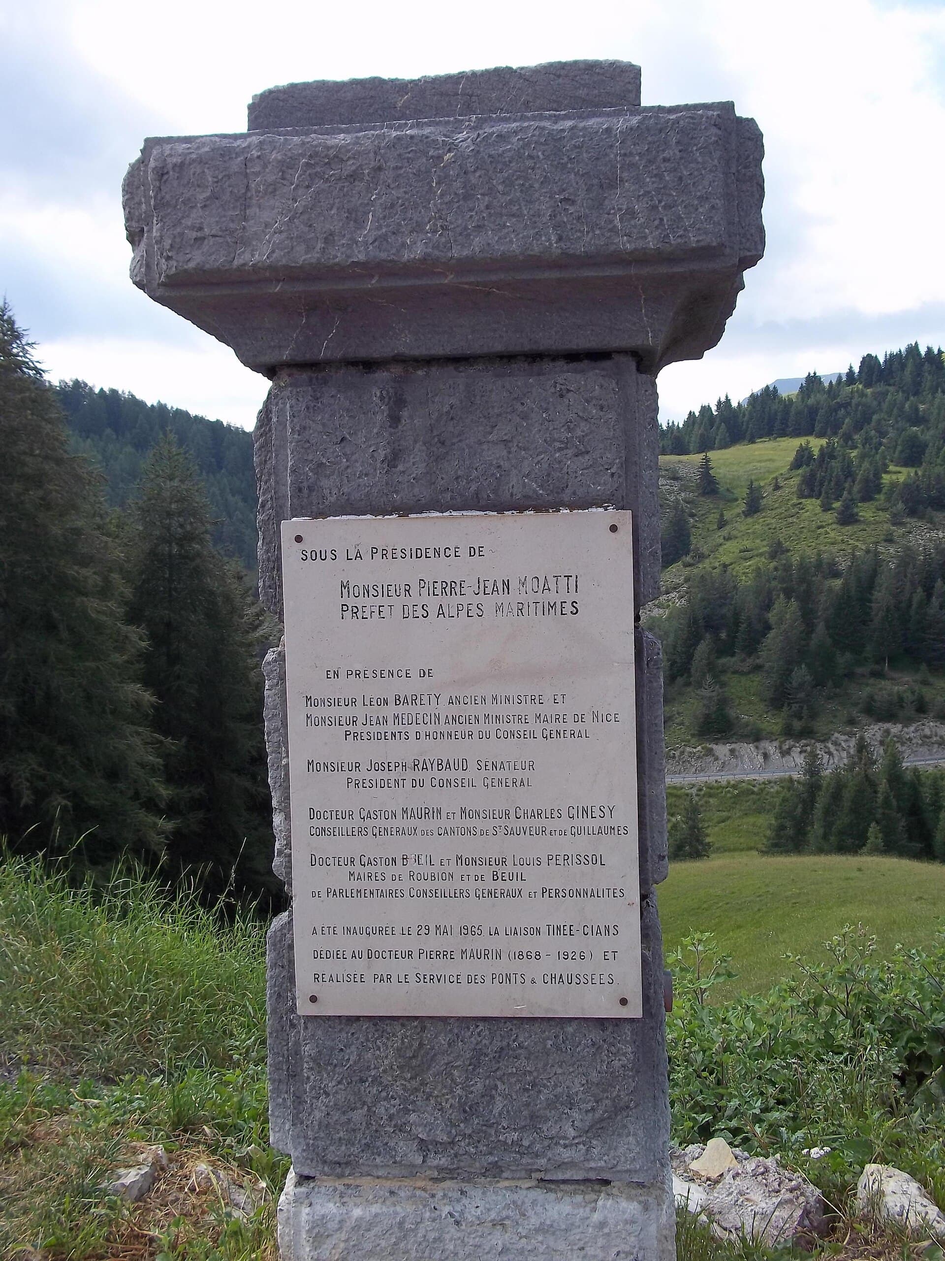
The Col de la Cayolle: The Var to the Ubaye Through the Mercantour
300 XPDrive the fifteen kilometres of road from Entraunes up to the col, cut between 1907 and 1914 under a mayor who walked the line of it himself, and look for the places where it is still only a ledge blasted out of the valley side
14.6 km from camp
About 2 h
Summer and autumn only
Walks from camp
Days 13–14 · 2 nights
The Mercantour
125 km · 2 h 38 min from The Ubaye
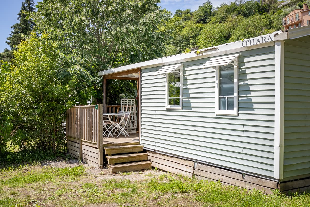
Base camp · 2 nights
Camping Les Templiers
4.2
417 Google reviews
Editor's note
Two nights in the Mercantour. At Saint-Martin-Vésubie, known as the Switzerland of Nice, the Alpha park keeps wolves in large mountain enclosures, and a path circles the Lac du Boréon above. The Vallée des Merveilles holds more than 40,000 Bronze Age rock engravings below Mont Bégo, reached only on foot and only on a guided excursion; the Musée des Merveilles in Tende explains them. Photograph the Milky Way from Castérino; the skies are darkest from October to March. The Col de Turini, 1,604m, is a Monte-Carlo Rally regular: drive the 24km climb from Sospel and on through the forest to Peïra-Cava.
Saint-Martin-Vésubie: Wolves, the Boréon and the Switzerland of Nice
300 XPGo up to the Parc Alpha at the Boréon and watch the packs from the hides — and work out that none of the thirteen wolves that lived here before October 2020 is among them: the park was shut for nine months after storm Alex and restarted with five reintroduced animals
10.8 km from camp
About 3 h
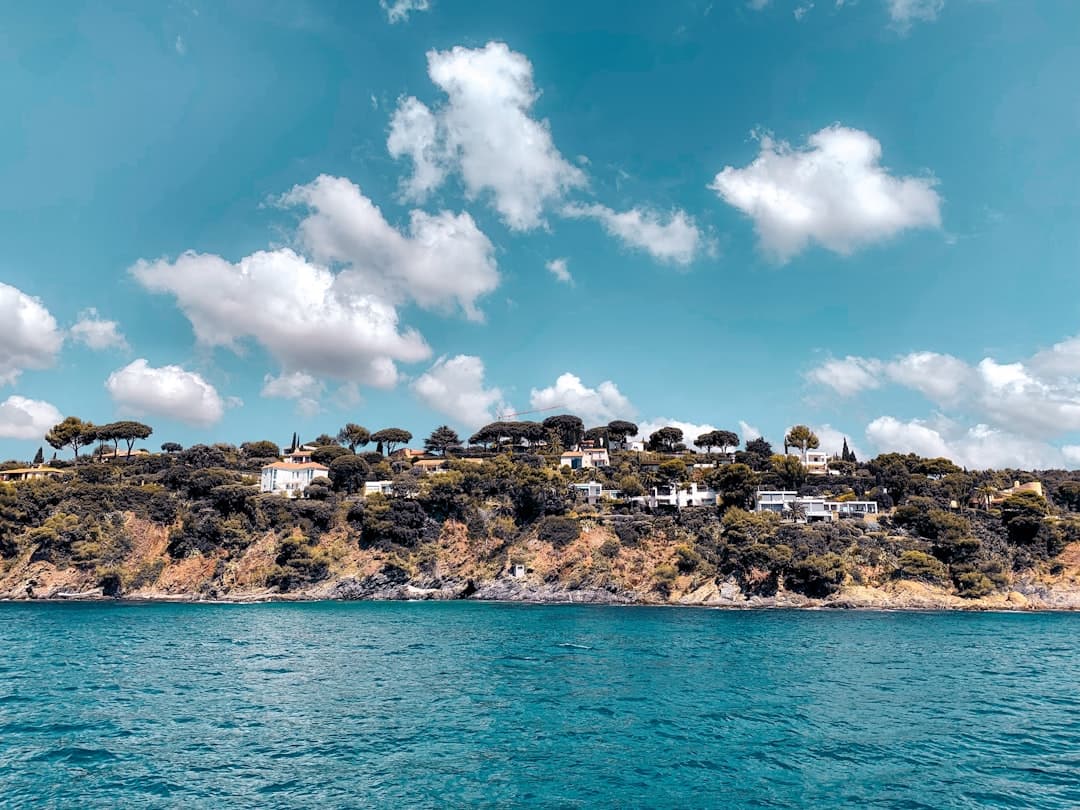
The Vallée des Merveilles: Thirty-Six Thousand Engravings Around Mont Bégo
425 XPWalk the GR52 up into the Vallée des Merveilles, above 2,000 m, and find the engravings on the roches moutonnées beside the path — you may not step off the GR52 into the protected sectors unless you are with an accredited guide, so book one if you want to see the rest — and at the Paroi vitrifiée, the great glacier-polished wall in the Merveilles sector, pick out the densest panel of incised marks on the site
10.8 km from camp
About 8 h
Summer and autumn only
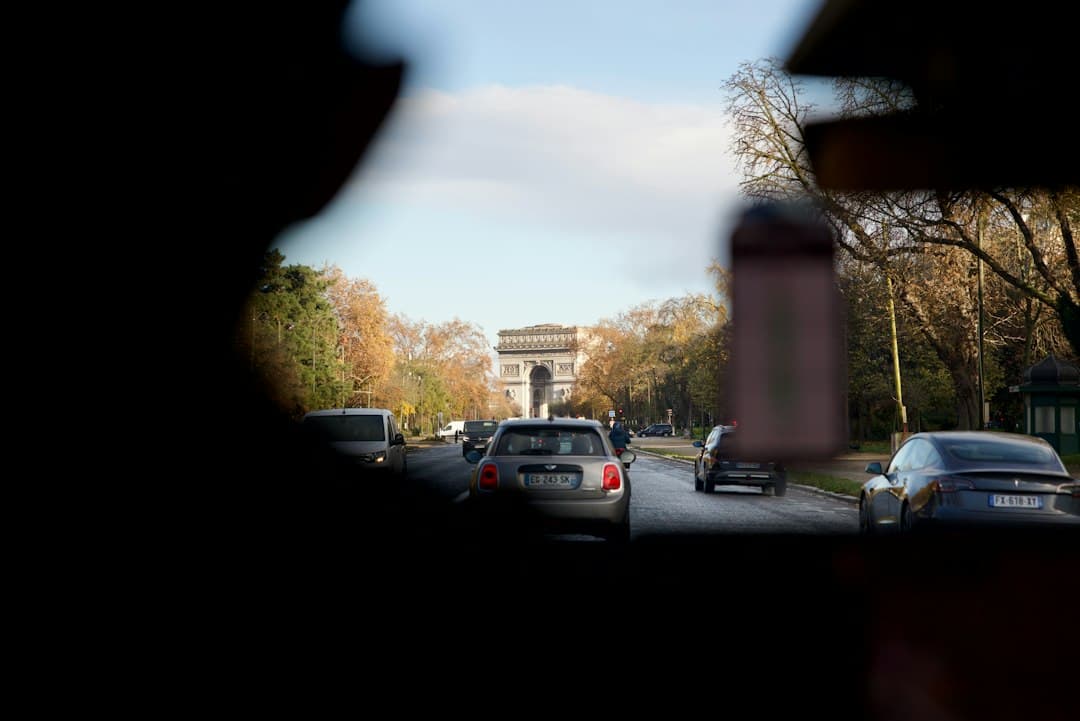
The Col de Turini: The Monte-Carlo Rally's Night Stage
250 XPDrive the climb from Sospel to the col, 24.2 km at an average of 5.1 per cent, and mark the halfway point at the chapel of Notre-Dame de la Ménour, 9.9 km up, where the gradient lets go for a moment
7.8 km from camp
About 2 h
Walks from camp
Day 15 · 1 night
Nice
45 km · 1 h 10 min from The Mercantour
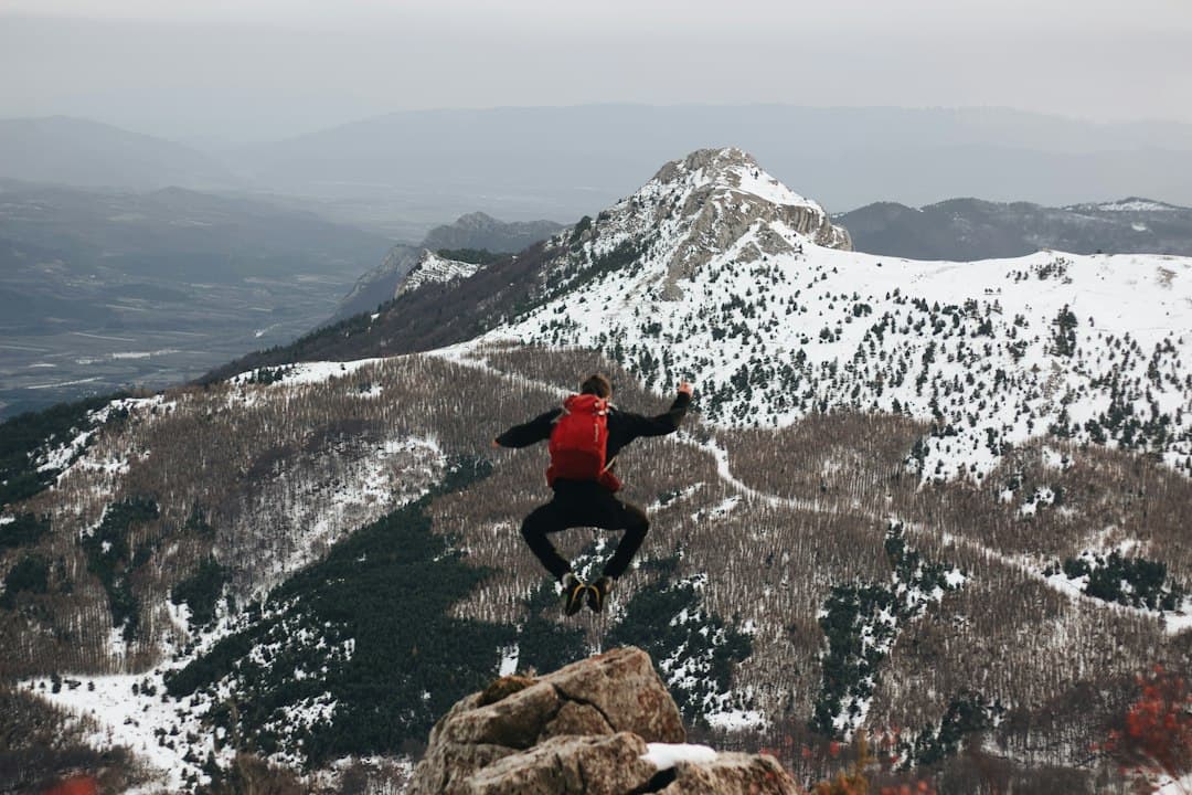
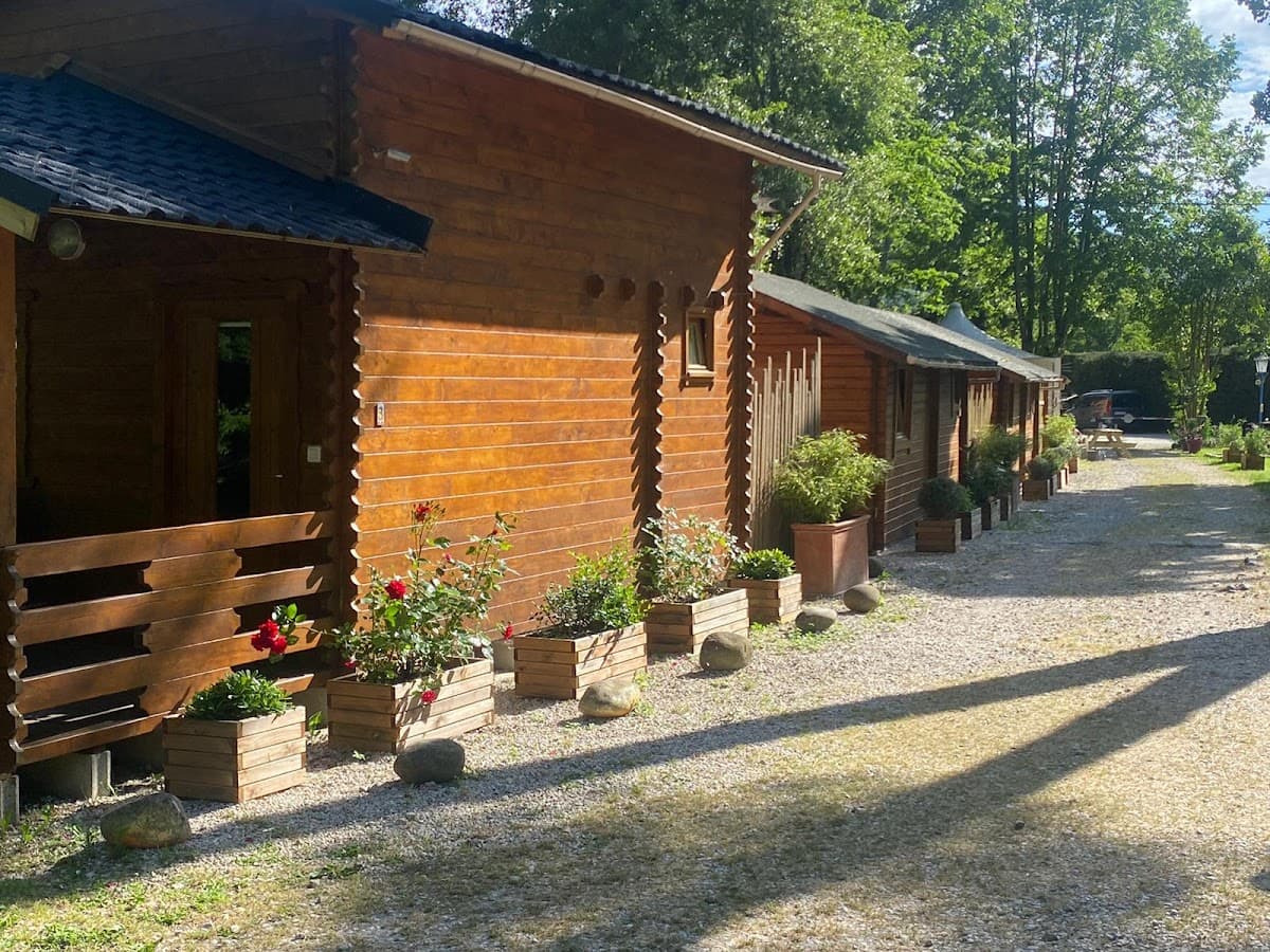
Base camp · 1 night
Camping de La Laune
4.2
667 Google reviews
Editor's note
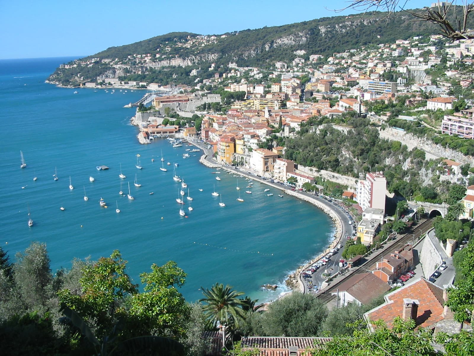
One night near Nice. The Promenade des Anglais runs 7km round the Baie des Anges and, with the villas and hotels of the old winter resort, has been UNESCO-listed since 2021. Climb the Colline du Château for the waterfall and the view over the bay, and go to the flower and vegetable market on the Cours Saleya in Vieux-Nice, on a morning from Tuesday to Sunday. Then drive the Grande Corniche towards La Turbie and climb through Èze, on its rock at 429m, to the exotic garden in the castle ruins. The Chemin de Nietzsche drops steeply from the village to the sea at Èze-sur-Mer.
Nice and Èze: The Promenade des Anglais, Castle Hill and the Village on the Rock
250 XPWalk or cycle the seven kilometres of the Promenade des Anglais, which began in 1822 as a two-metre dirt path cut by the wintering British — paid for, it is said, by the Reverend Lewis Way — then sit in one of the blue chairs under a pergola at dusk and watch the lamp-posts throw light upwards as well as down: they double as approach beacons for the airport
13.6 km from camp
About 4 h
The Grande Corniche and Èze: The High Road Above the Riviera
250 XPDrive the Grande Corniche, the RD2564, out of Nice and over its two cols — the col des Quatre-Chemins and then the col d'Èze — as far as La Turbie, keeping the Moyenne and Basse Corniches below you the whole way
4.9 km from camp
About 5 h
Finish the guide, earn 5,775 XP
19 challenges across 9 stops.
Carry on with…
These start close to where this one finishes, after 15 nights, so you can keep going.