Avandra Field Guide · Bourgogne-Franche-Comté, France
The Mâconnais: Beaujolais Crus, Solutré and Bresse Chicken
4
nights
69
km driving
3
challenges
800
XP to earn
4
nights
69
km driving
3
challenges
800
XP to earn
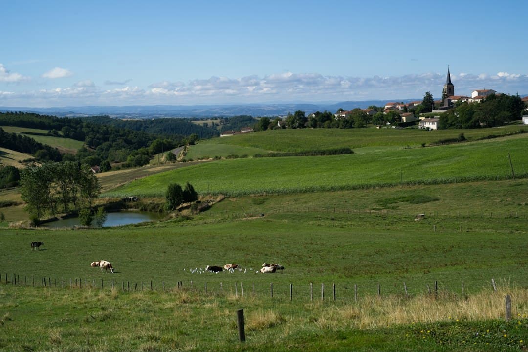
Sixty-nine kilometres separate Fleurie from Bourg-en-Bresse, and in that short distance the ground changes twice. The granite hills at the start carry the ten crus of Beaujolais, from Saint-Amour in the north to Brouilly in the south, with chapels standing over the vines and the windmill that named Moulin-à-Vent still on the hill of Poncié. Thirty-seven kilometres on, the rock turns to limestone and the Roche de Solutré rises to 493 m above the vines of Pouilly-Fuissé, an appellation since 1936 and chardonnay only. Twenty-six kilometres further the hills give out and the Bresse plain begins, where a chicken with blue feet, white feathers and a red comb has had its own appellation since 1957. Three things with nothing in common, each done extremely well, within two hours of driving.
Best from April to October
69 km of driving in total, about 2 hours over 4 days
Edited by Avandra
Day 1 · 1 night
Beaujolais
4 km · 7 min from Beaujolais
Base camp · 1 night
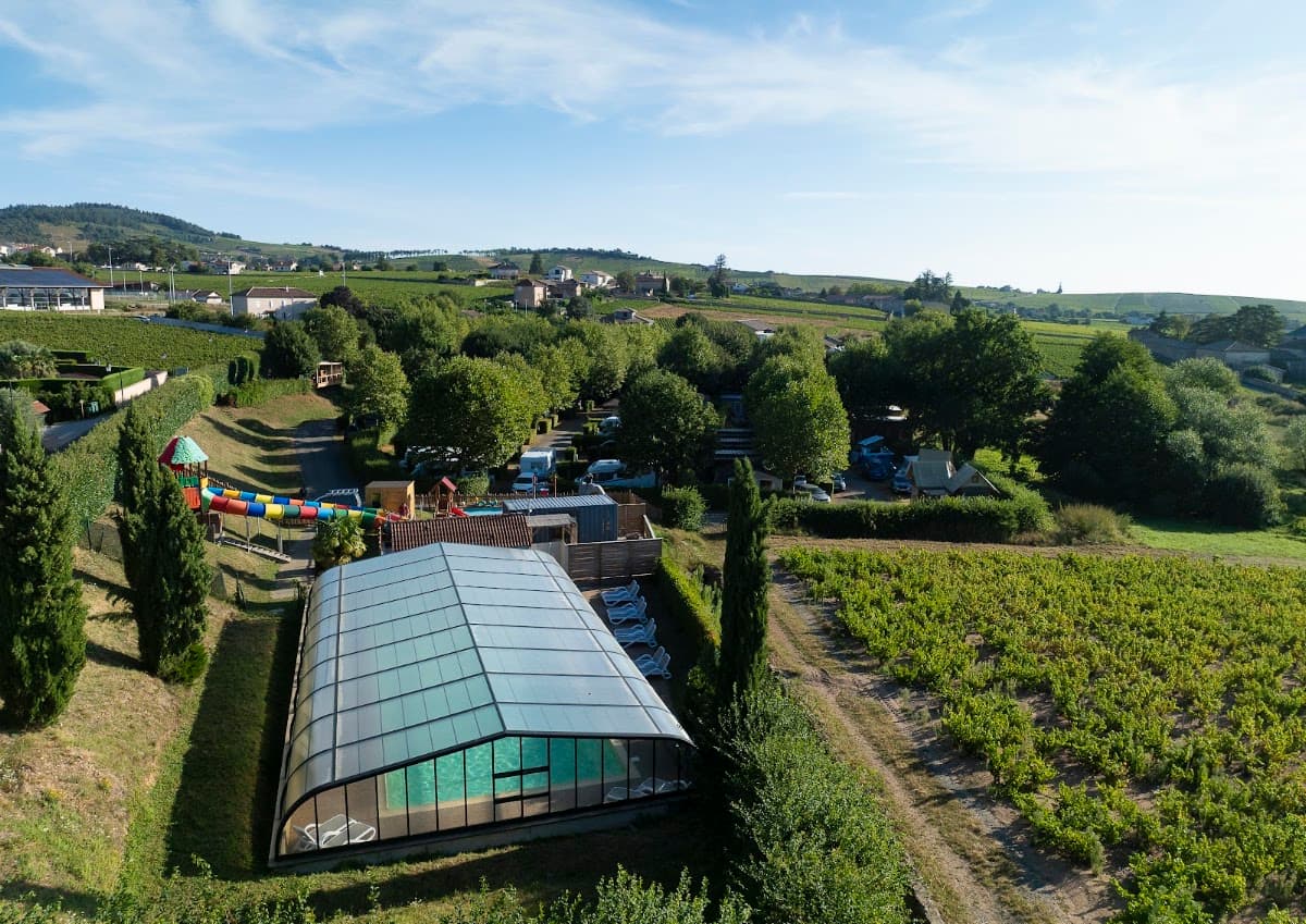
Camping de la Grappe Fleurie
4.1
994 Google reviews
Editor's note
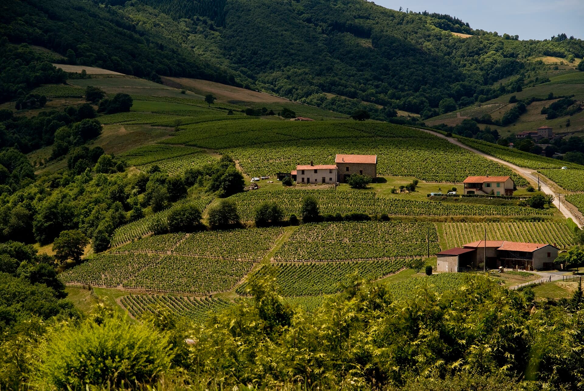
Camping de la Grappe Fleurie sits on Rue de la Grappe Fleurie on the edge of Fleurie, one night among the vines and about three kilometres from the cru country itself. The ten crus run along the granite from Saint-Amour down to Brouilly, and three tasted in producers' cellars, say Morgon, Fleurie and Moulin-à-Vent, show how far apart they can be. Above the village, the chapel of the Madone was built in 1866 at 425 m and looks over the vineyards; on Mont Brouilly, Notre-Dame-aux-Raisins was built between 1854 and 1857 at 484 m, and a pilgrimage climbs to it every 8 September. At Romanèche-Thorins the windmill on the hill of Poncié, a listed monument since 1930, stopped grinding in 1850.
Walks from camp
Day 2 · 1 night
Solutré and Pouilly-Fuissé
37 km · 1 h 0 min from Beaujolais
Base camp · 1 night
Camping Mâcon
4.2
2,643 Google reviews
Editor's note
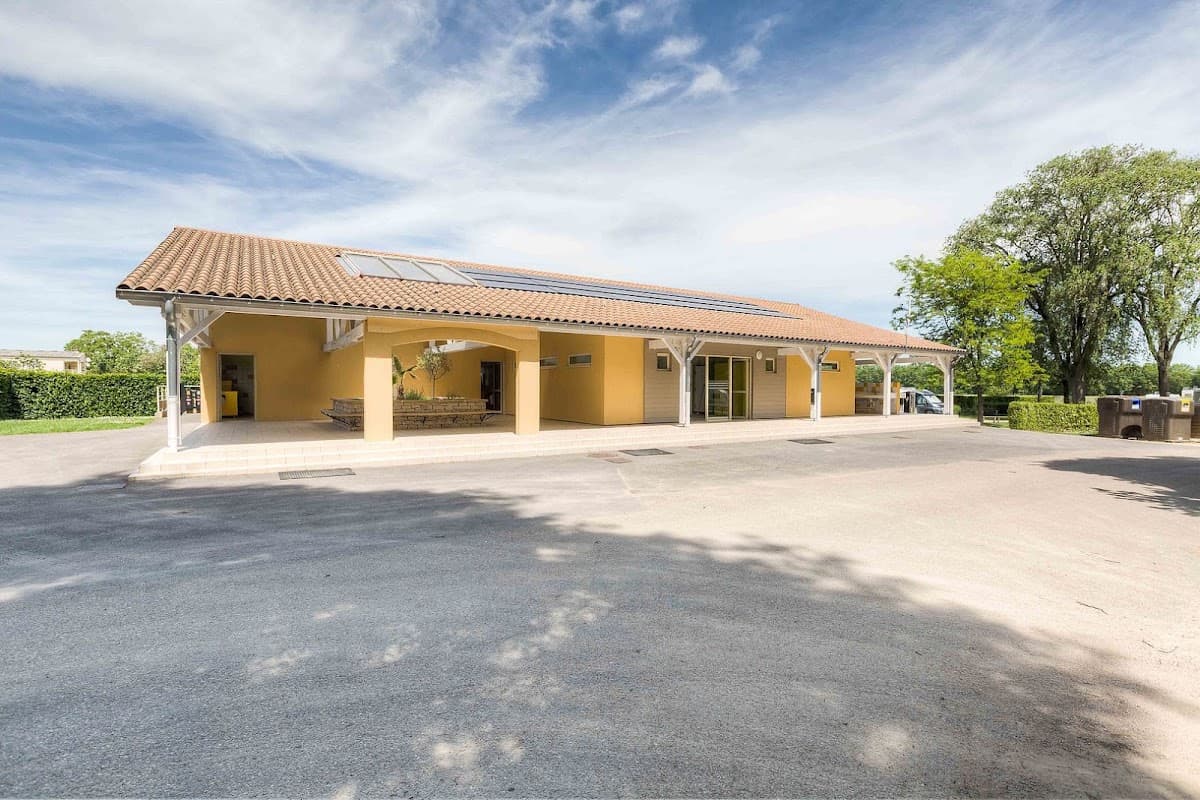
The second night is at Sancé, just outside Mâcon and about ten kilometres from the rock. The Roche de Solutré is a limestone escarpment above Solutré-Pouilly, 493 m at the top, with the Mâconnais laid out below. Excavations from 1866 found one of the richest bone and stone-tool deposits in Europe and gave the Solutrean its name; the finely worked laurel-leaf blades are in the Musée de Préhistoire at the foot of the rock, opened in 1987. The story that hunters drove horses off the cliff comes from a novel, not from the digs. The vines below are Pouilly-Fuissé, chardonnay only and an appellation since the decree of 11 September 1936: taste one in Fuissé, Vergisson, Chaintré or Solutré-Pouilly.
Walks from camp
Days 3–4 · 2 nights
Bresse
26 km · 30 min from Solutré and Pouilly-Fuissé
Base camp · 2 nights
Camping And Leisure La Plaine Tonique
4.0
1,164 Google reviews
Editor's note
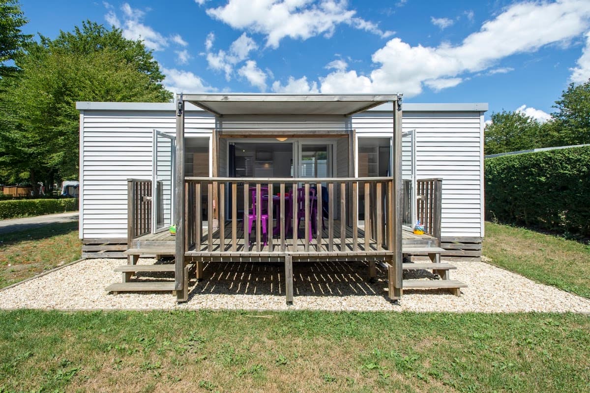
Two nights at La Plaine Tonique, on the Route d'Etrez at Malafretaz, beside the 95-hectare lake of the same name at Montrevel-en-Bresse, which can be walked round or paddled. The Bresse chicken wears the French flag, blue feet, white feathers and a red comb, and has had its own appellation since a law of 1957; eat one, as a poularde or a capon. Between meals there are the old farms of the plain and their Saracen chimneys: the Ferme-musée de la Forêt at Courtes has one of the 34 left in the region, and the Ferme du Sougey at Montrevel-en-Bresse, timber-framed and listed since 1946, has a chimney beam dated to 1460.
Walks from camp
Finish the guide, earn 800 XP
3 challenges across 3 stops.
For the foodie
Trips built on the same interest, in other countries.
Ireland · 4 nights
Cork: The Food County
4 nights · 3 stops · 5 challenges
Ireland · 3 nights
Dublin on a Plate: Markets, Distilleries and the Old Pubs
3 nights · 2 stops · 4 challenges
Scotland · 7 nights
Scotch: From the 1494 Record to Speyside
7 nights · 5 stops · 6 challenges