14
nights
960
km driving
18
challenges
4,800
XP to earn
14
nights
960
km driving
18
challenges
4,800
XP to earn
Fourteen nights on the North Coast 500, a loop that starts and ends in Inverness. It begins on the Black Isle with dolphins off Chanonry Point, then runs north to Wick and John o' Groats, the turn at the north-east corner of the mainland, and out to Dunnet Head, the top of Great Britain. Along the north coast come Bettyhill and the story of the Clearances, then Smoo Cave and the walk to Sandwood Bay from Durness. Three nights in Assynt allow for Handa's seabirds, the Kylesku bridge and Suilven. Then come Ullapool and Stac Pollaidh, Beinn Eighe in Torridon, the Bealach na Bà to Applecross, and the way back by Cawdor, Culloden and the Clava Cairns.
Best from April to August
960 km of driving in total, about 14 hours over 14 days
The Munlochy Clootie Well
Edited by Kenneth Killeen
Days 1–2 · 2 nights
The Black Isle
22 km · 26 min from Inverness
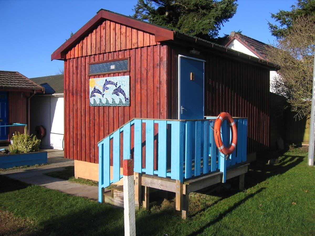
Base camp · 2 nights
Fortrose Bay Campsite
4.7
927 Google reviews
Editor's note
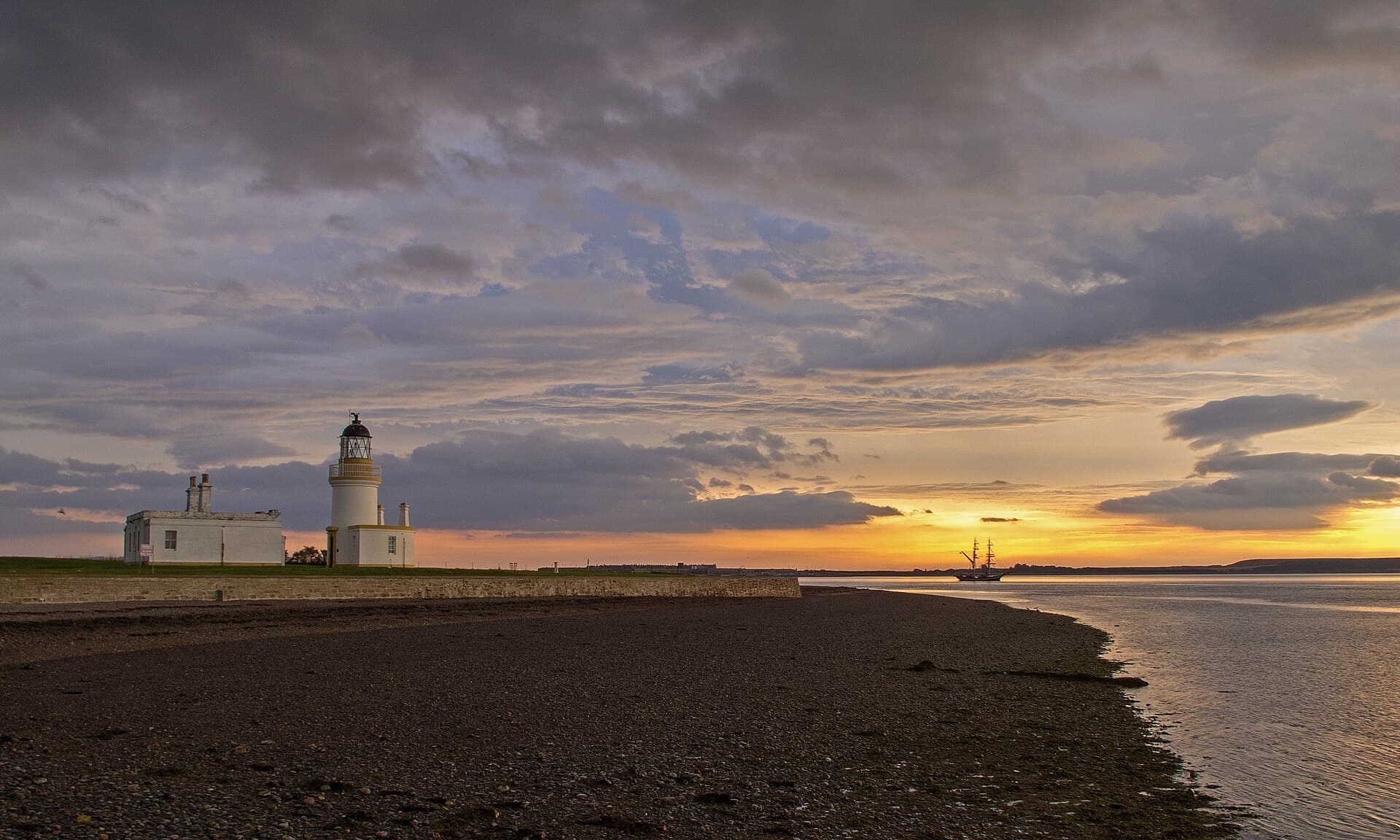
Two nights on the Black Isle. Chanonry Point runs out into the Moray Firth between Fortrose and Rosemarkie, and bottlenose dolphins fish the current off the spit, best on a rising tide; Alan Stevenson's lighthouse at the tip was first lit in 1846. Walk the ruins of Fortrose Cathedral, and in Cromarty find Hugh Miller's thatched birthplace among the Georgian merchant houses. Near Munlochy, a path from the A832 leads to the Clootie Well, where the trees are hung with thousands of strips of cloth left by people seeking a cure. Tie only natural fabric that will rot: synthetic rags are discouraged.
Walks from camp
Days 3–4 · 2 nights
John o' Groats and Dunnet Head
200 km · 2 h 58 min from The Black Isle
Base camp · 2 nights
John O'Groats Caravan and Camping Site
4.5
909 Google reviews
Editor's note
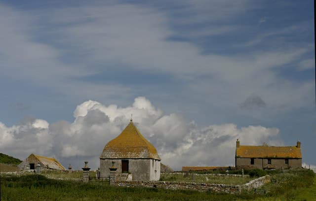
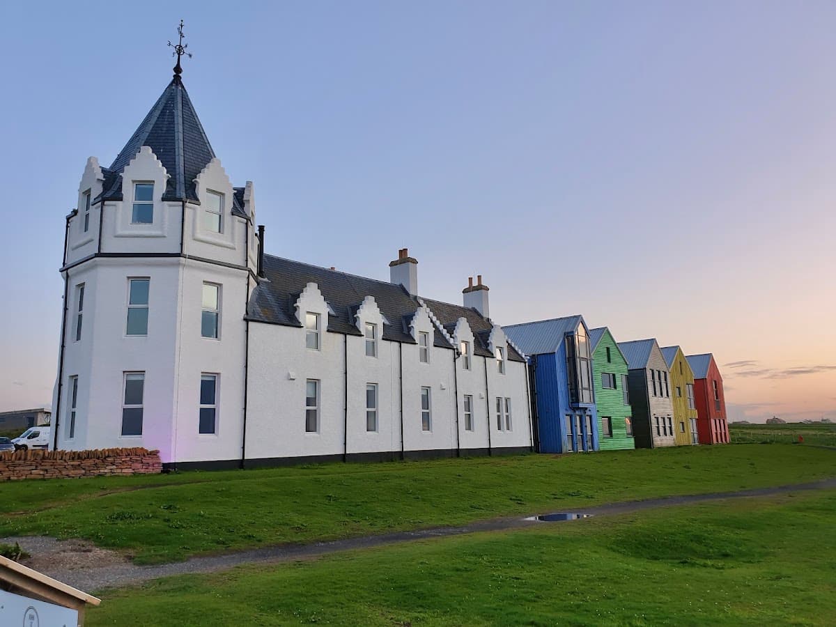
Two nights at the north-east corner of the mainland. Duncansby Head, the most north-easterly point, has sea stacks, geos and blowholes, with puffins, guillemots, razorbills and kittiwakes nesting in spring and summer. Stand at the John o' Groats signpost and visit the Castle of Mey, bought by the Queen Mother in 1952. Drive the single-track B855, the most northerly road on the mainland, out to Dunnet Head and look across the Pentland Firth to Hoy and the Orkney Mainland. At Wick, walk Pulteneytown, founded in 1808 for people cleared from the Highlands, and count the Whaligoe Steps, where fisherwomen carried herring up the cliff in creels.
Wick and the Whaligoe Steps: The Herring Coast
250 XPWalk Pulteneytown, the fishing town built by the British Fisheries Society
23 km from camp
About 3.5 h
John o' Groats, Duncansby Head and the Castle of Mey
350 XPLook at the stacks from the Duncansby Head lighthouse near John o' Groats
2.5 km from camp
About 4 h
Spring to autumn only
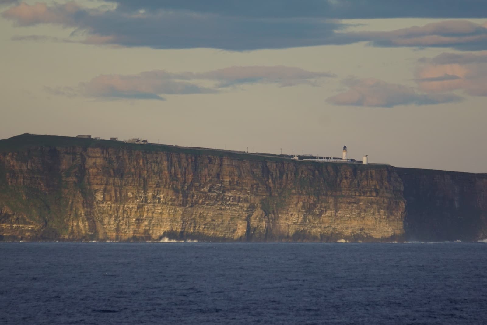
Dunnet Head: The Top of Great Britain
225 XPDrive the B855, the most northerly road on mainland Britain
18.1 km from camp
About 2 h
Day 5 · 1 night
Bettyhill
97 km · 1 h 40 min from John o' Groats and Dunnet Head
Base camp · 1 night
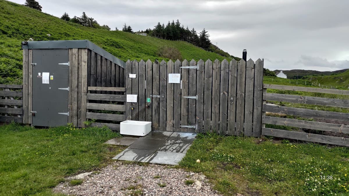
Skerray Harbour Campsite
4.8
29 Google reviews
Editor's note
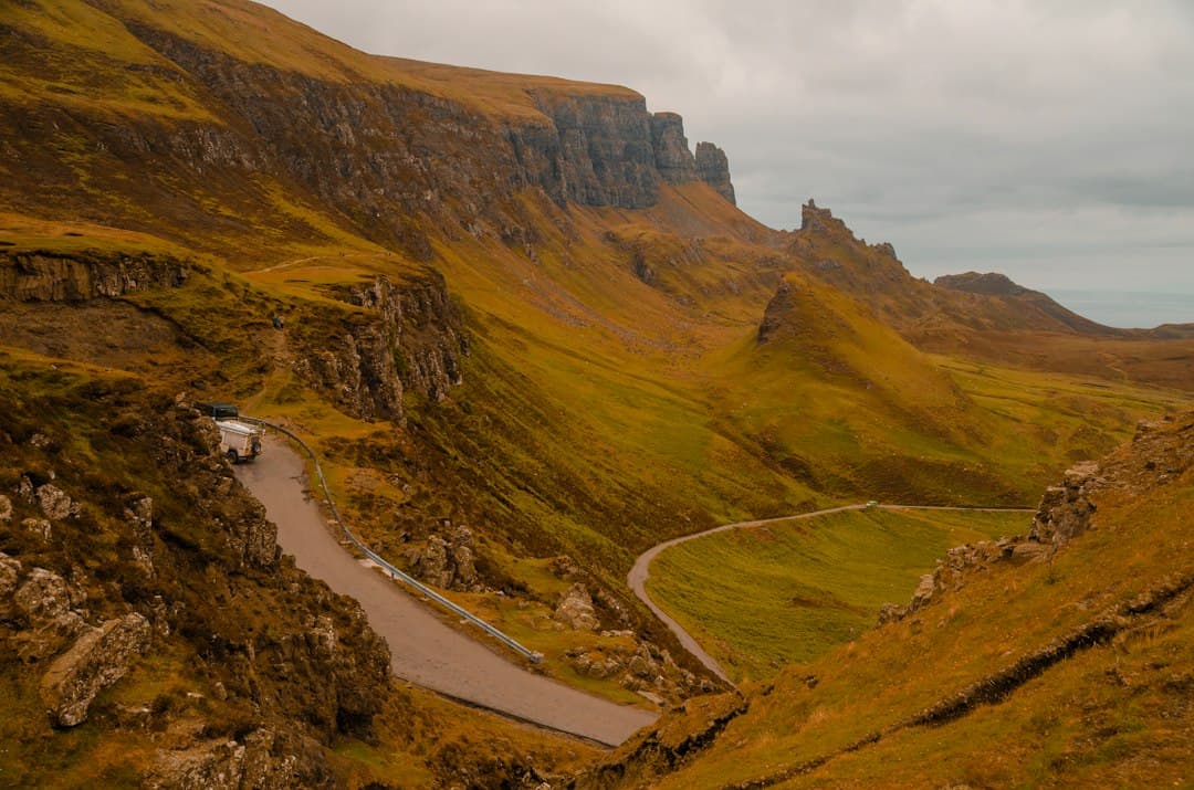
One night at Bettyhill, at the foot of Strathnaver. The Strathnaver Museum, run by volunteers in the old parish church since 1976, tells the story of the Sutherland Clearances, including the Gaelic-speaking minister of Farr who was made to read the eviction notices to his own people. At the church's west gable stands the Farr Stone, a Pictish carved stone of around 850 AD. Then walk out across Torrisdale Bay, where the Naver, a salmon river, meets the sea.
Walks from camp
Days 6–7 · 2 nights
Durness
58 km · 54 min from Bettyhill
Base camp · 2 nights
Campsite Durness
4.7
160 Google reviews
Editor's note
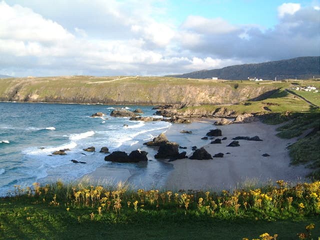
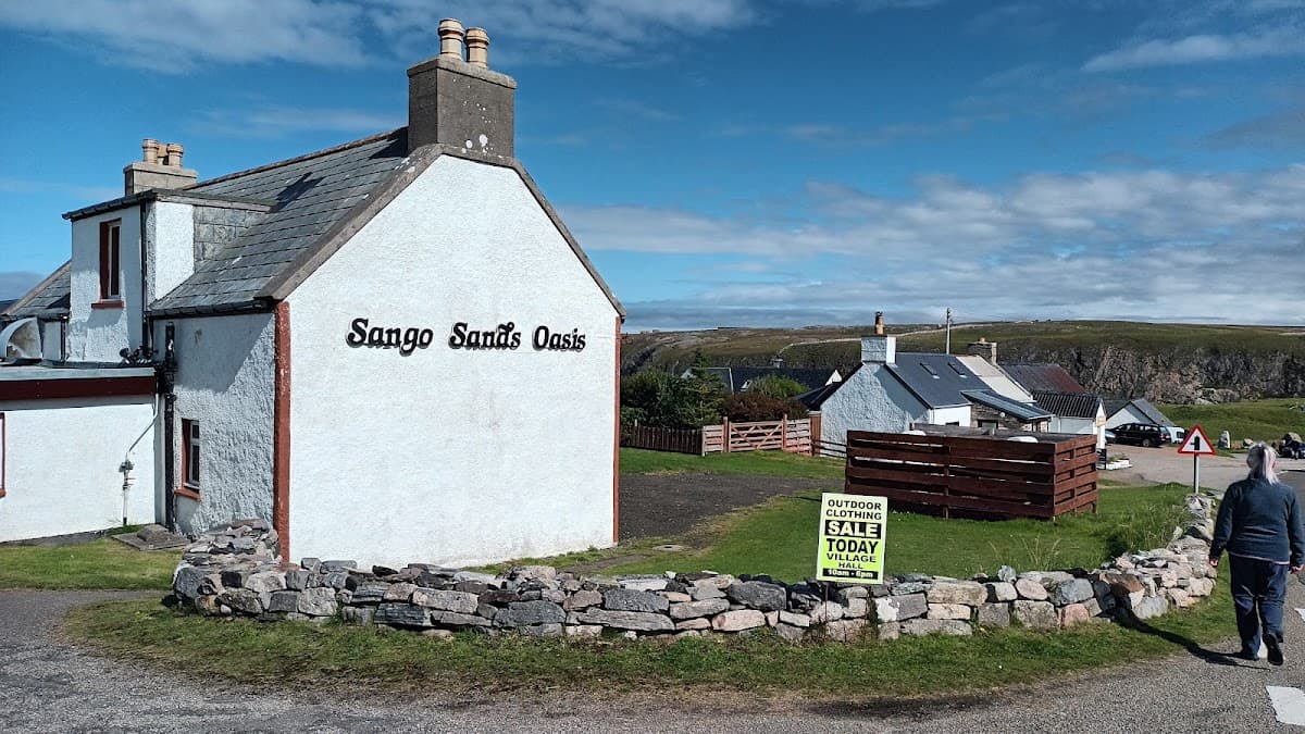
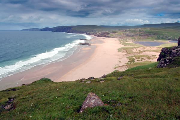
Two nights at Durness. Smoo Cave sits at the end of a 600m tidal gorge: walk into the sea chamber, whose entrance is the largest of any sea cave in Britain, and look down on the 20m waterfall of the Allt Smoo. At Balnakeil a ruined church stands above the sands, beside a craft village in the old MoD camp. John Lennon spent childhood summers here; his memorial garden carries lines from 'In My Life'. Sandwood Bay has no road: walk four miles in from Blairmore to a mile of sand, with the sea stack Am Buachaille off its south end and a Spitfire engine the sand sometimes uncovers.
Days 8–10 · 3 nights
Assynt
92 km · 1 h 15 min from Durness
Base camp · 3 nights
Clachtoll Beach Campsite
4.8
1,296 Google reviews
Editor's note
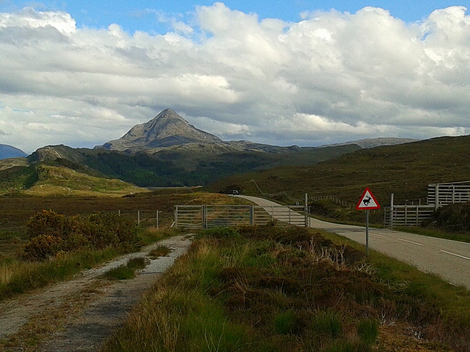
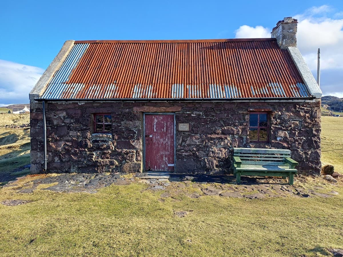
Three nights in Assynt. A small ferry crosses from Tarbet to Handa, whose cliffs hold the largest razorbill and guillemot colonies in the UK through late spring and early summer; walk the circuit to the Great Stack and watch great skuas over the moor. At Kylesku, cross the curved bridge of 1984 and, in good weather, take the boat to Loch Beag to see Eas a' Chual Aluinn, at 200m the tallest waterfall in the United Kingdom. The walk in to Suilven from Lochinver is long before the climb starts; go on to Caisteal Liath only if the weather holds. Ardvreck Castle stands ruined on its promontory in Loch Assynt.
Handa Island: Razorbills, Guillemots and Great Skuas
250 XPTake the ferry from Tarbet across to Handa
22.8 km from camp
About 5 h
Spring and summer only
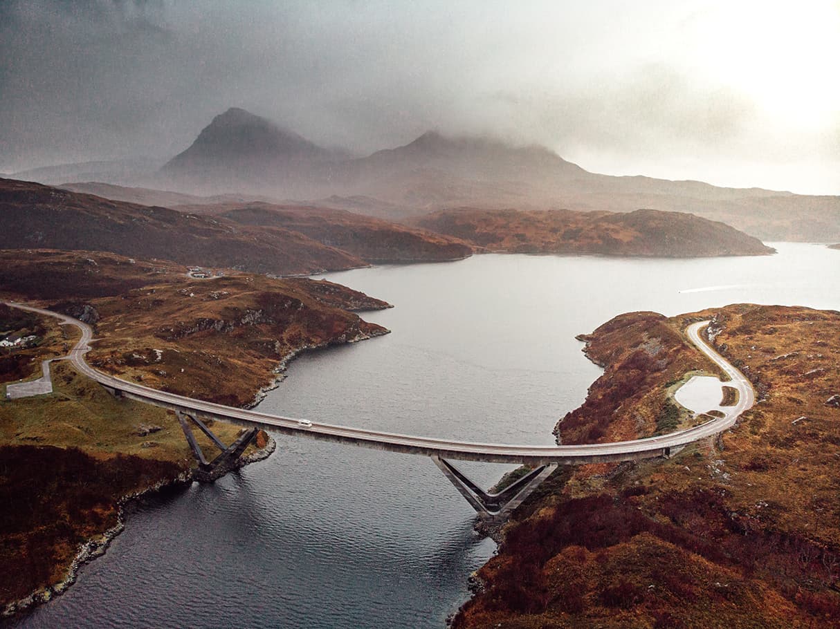
Kylesku: The Curved Bridge and Britain's Tallest Waterfall
250 XPCross the Kylesku Bridge and stop to look at its curve from the shore
19.7 km from camp
About 5 h
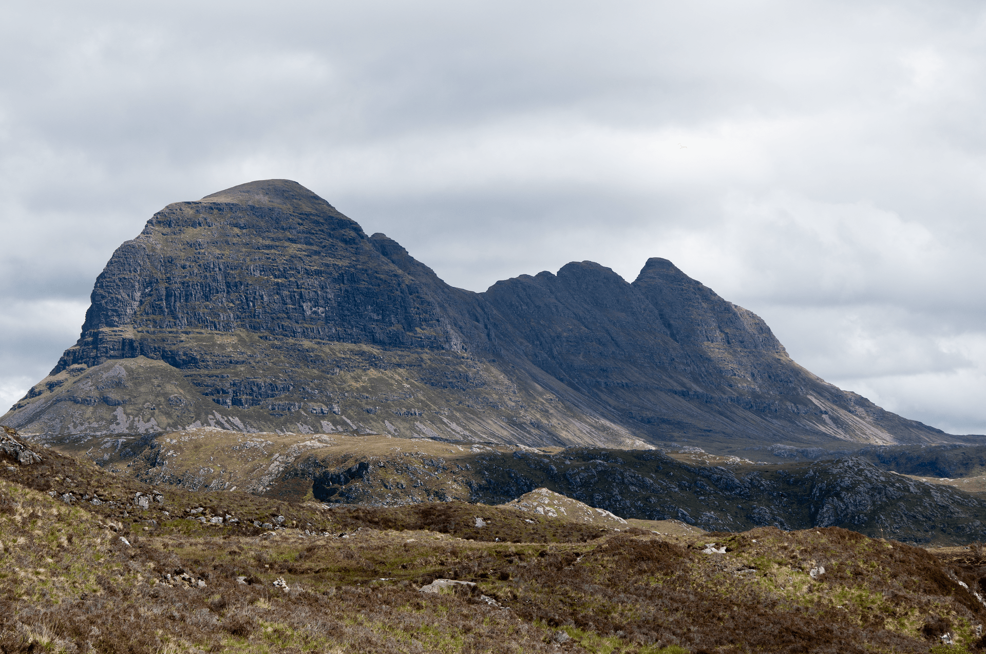
Lochinver and Suilven: The Sugar Loaf of Assynt
400 XPWalk in from Lochinver towards Suilven across the Assynt moor
6 km from camp
About 8 h
Assynt: Ardvreck Castle and the Bone Caves
225 XPWalk out to the ruin of Ardvreck Castle on its promontory
20.2 km from camp
About 2 h
Day 11 · 1 night
Ullapool
114 km · 1 h 33 min from Assynt
Base camp · 1 night
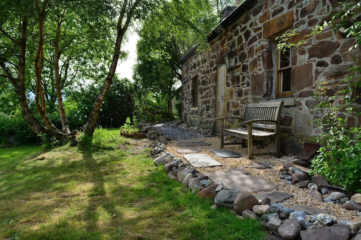
Badrallach Campsite, Bothy & Holiday Cottage
4.6
172 Google reviews
Editor's note
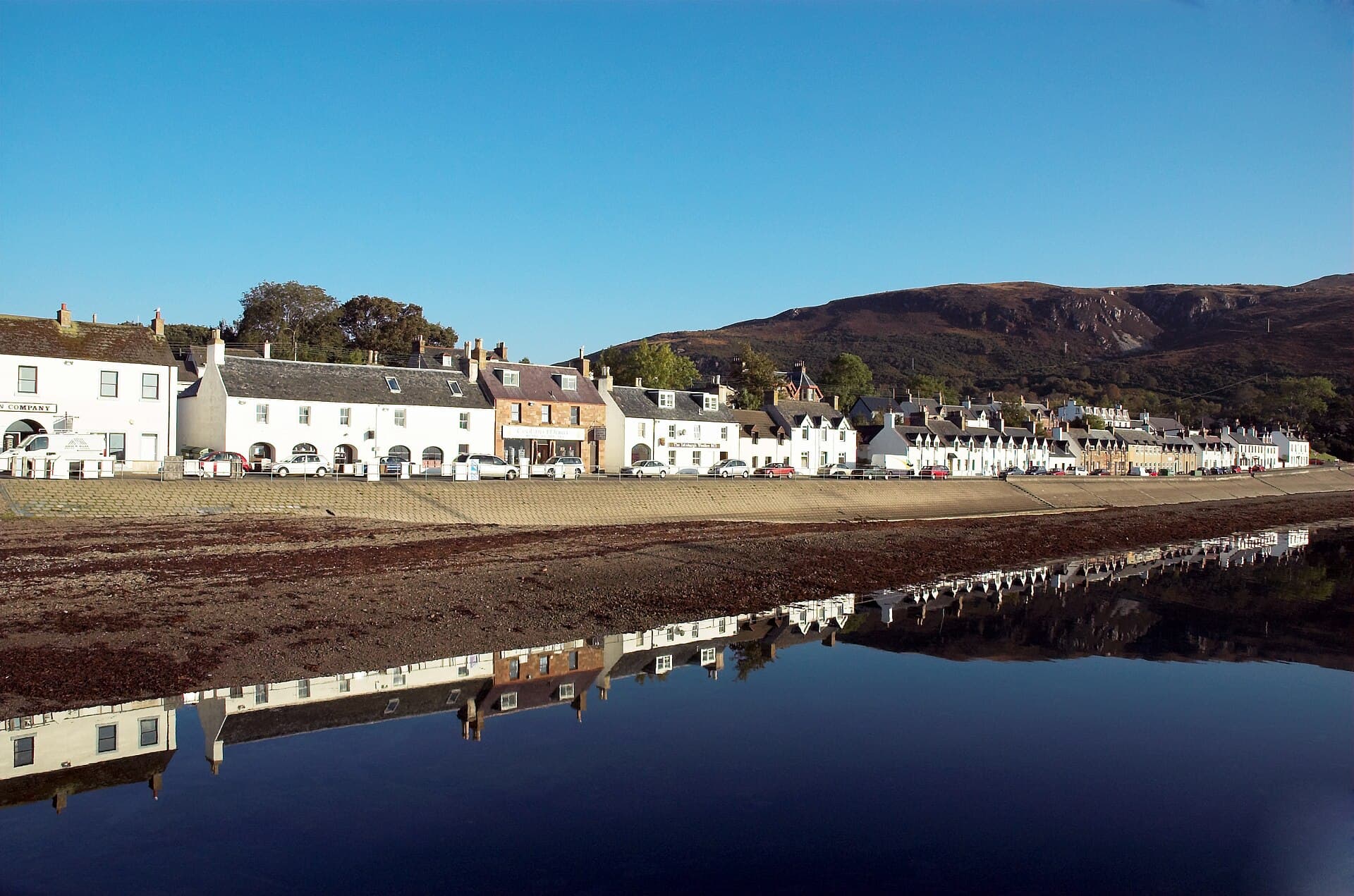
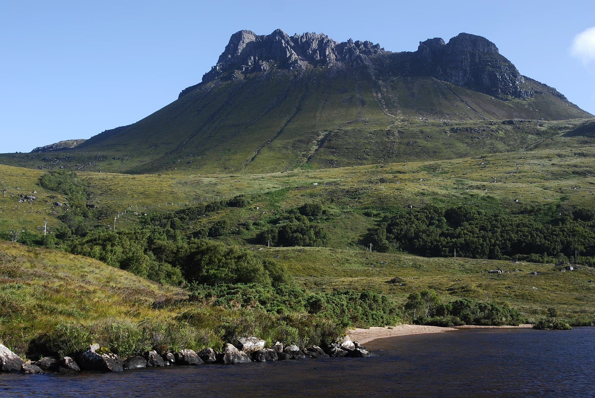
One night at Ullapool, laid out in 1788 by the British Fisheries Society to a design by Thomas Telford and still a fishing harbour. Walk the grid of streets, watch the Stornoway ferry come in at the pier and follow the shore of Loch Broom towards Rhue. Stac Pollaidh is small enough to climb in a morning: a crest of Torridonian sandstone just over 610m high, weathered into pinnacles when it stood above the ice sheet. The path splits about 200m from the road and both branches meet round the back; from the summit ridge, look out over the Inverpolly Forest to Suilven and the Minch.
Day 12 · 1 night
Torridon
139 km · 1 h 52 min from Ullapool
Base camp · 1 night
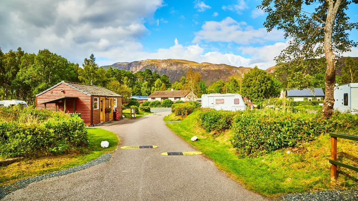
Kinlochewe Caravan and Motorhome Club Campsite
4.4
332 Google reviews
Editor's note
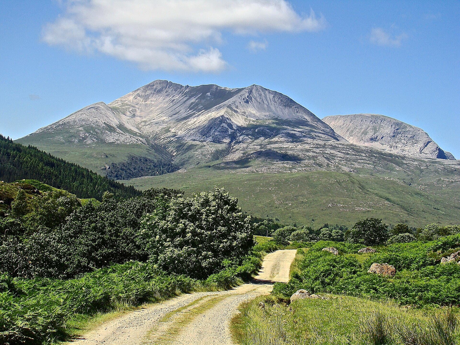
One night for Torridon and Beinn Eighe, which in 1951 became the first national nature reserve in Great Britain. Its summits are capped with pale Cambrian quartzite that can look like snow from the glen. Walk the woodland trail through Coille na Glas Leitir, the largest fragment of ancient Caledonian pinewood left in north-west Scotland, and look for mosses and liverworts on its floor: the reserve has the richest oceanic moss and liverwort flora of any single site in Britain. The mountain trail climbs on to the quartzite shoulder, and from the glen road you look up at the Torridon hills.
Day 13 · 1 night
Applecross
61 km · 52 min from Torridon
Base camp · 1 night
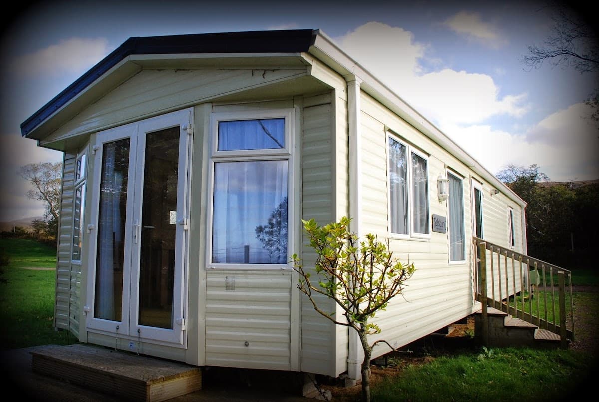
Applecross Campsite
4.3
978 Google reviews
Editor's note
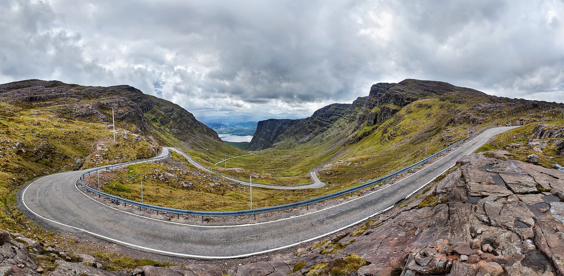
One night at Applecross, A' Chomraich, 'the sanctuary', where the Irish monk Maelrubha founded a monastery. Drive in over the Bealach na Bà from Tornapress: built in 1822 and engineered like an Alpine pass, with tight hairpins and gradients approaching 20 per cent, it has the greatest ascent of any road climb in the UK, from sea level to 626m in about six kilometres. Stop at the top for the view west over Raasay and Skye. Applecross was reachable only by boat until the 19th century, and the coast road round to Shieldaig was not built until 1975.
Day 14 · 1 night
Culloden and Nairn
151 km · 2 h 5 min from Applecross
Base camp · 1 night
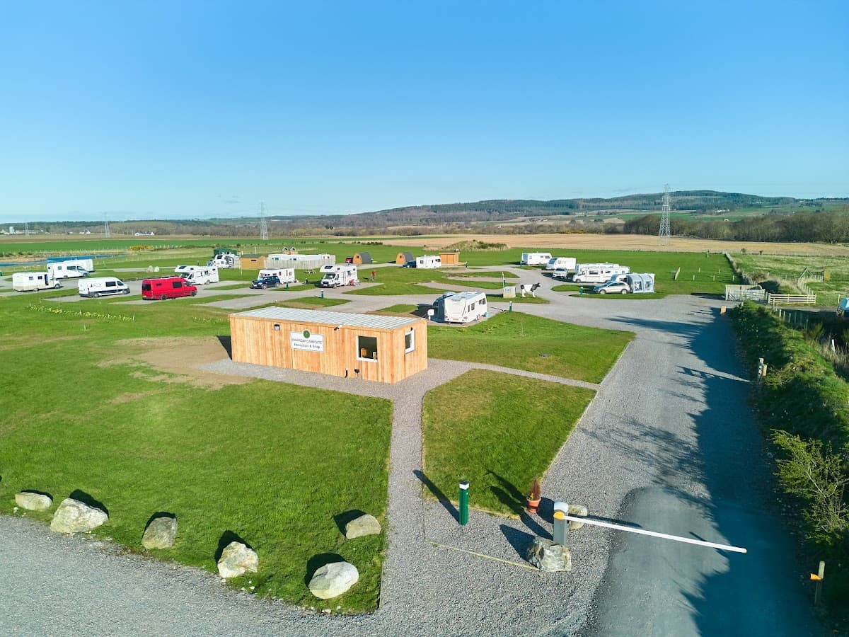
Barrow Campsite Nairn
4.8
387 Google reviews
Editor's note
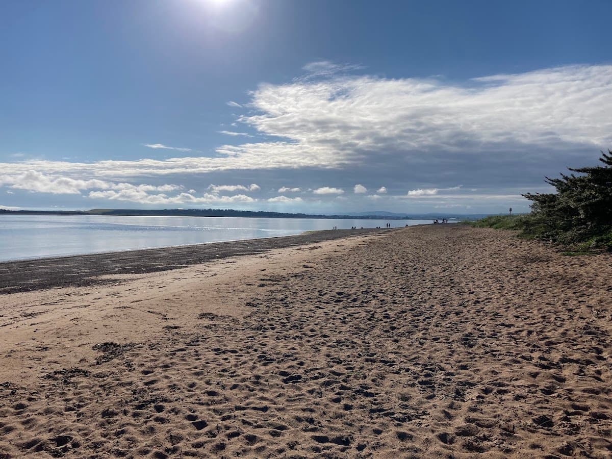
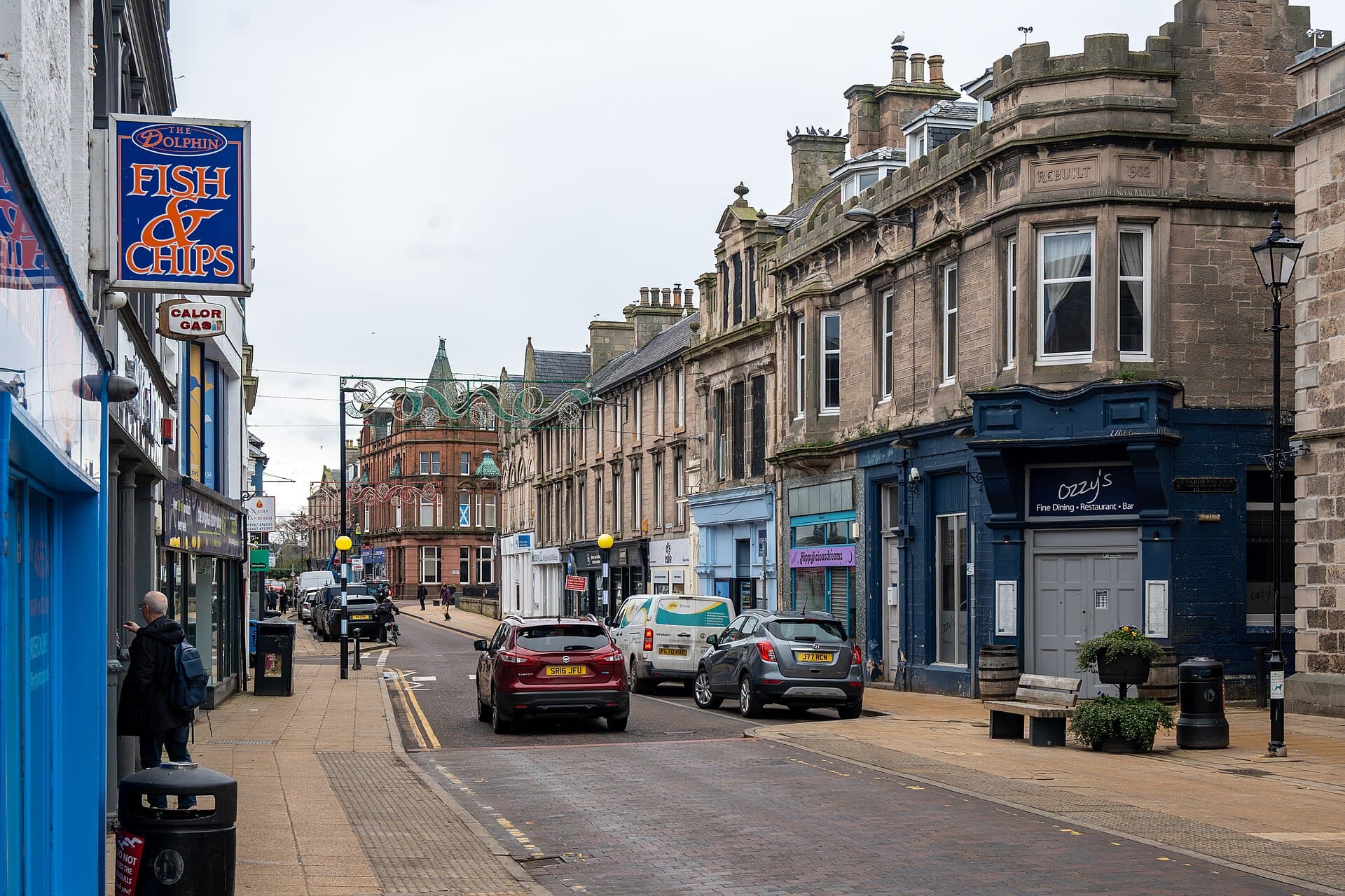
One night for Culloden and Nairn before the loop closes at Inverness. Cawdor Castle was built around a living holly tree that died about 1372, and its remains are still in the lowest room of the tower. Eleven kilometres away, the Jacobite army of Charles Edward Stuart was destroyed at Culloden on 16 April 1746 in under an hour: walk the battlefield and the clan graves. A couple of miles off, the Clava Cairns are three Bronze Age cairns ringed by standing stones, with passages facing the midwinter sunset. Walk into the north-east cairn, find the cup-marked kerb stones, then finish on Nairn's beach.
Cawdor, Culloden and Nairn: The Holly Tree and the Last Battle on British Soil
275 XPFind the remains of the holly tree in the lowest room of Cawdor's tower
3.2 km from camp
About 2.5 h
Spring to autumn only
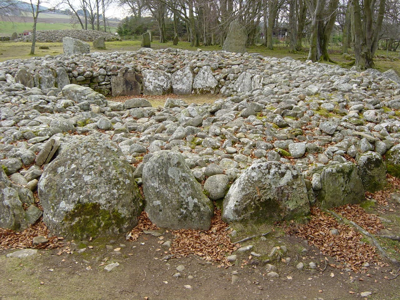
Clava Cairns: Bronze Age Tombs Aligned on the Midwinter Sun
225 XPWalk into the passage of the north-east cairn
12.7 km from camp
About 1.5 h
Finish the guide, earn 4,800 XP
18 challenges across 9 stops.